Winter storm warnings remain in effect across large portions of the United States, with up to 8 inches of snow and strong winds expected to pound parts of the North and Midwest through Sunday and, in some locations, into next week, according to the National Weather Service (NWS).
Why It Matters
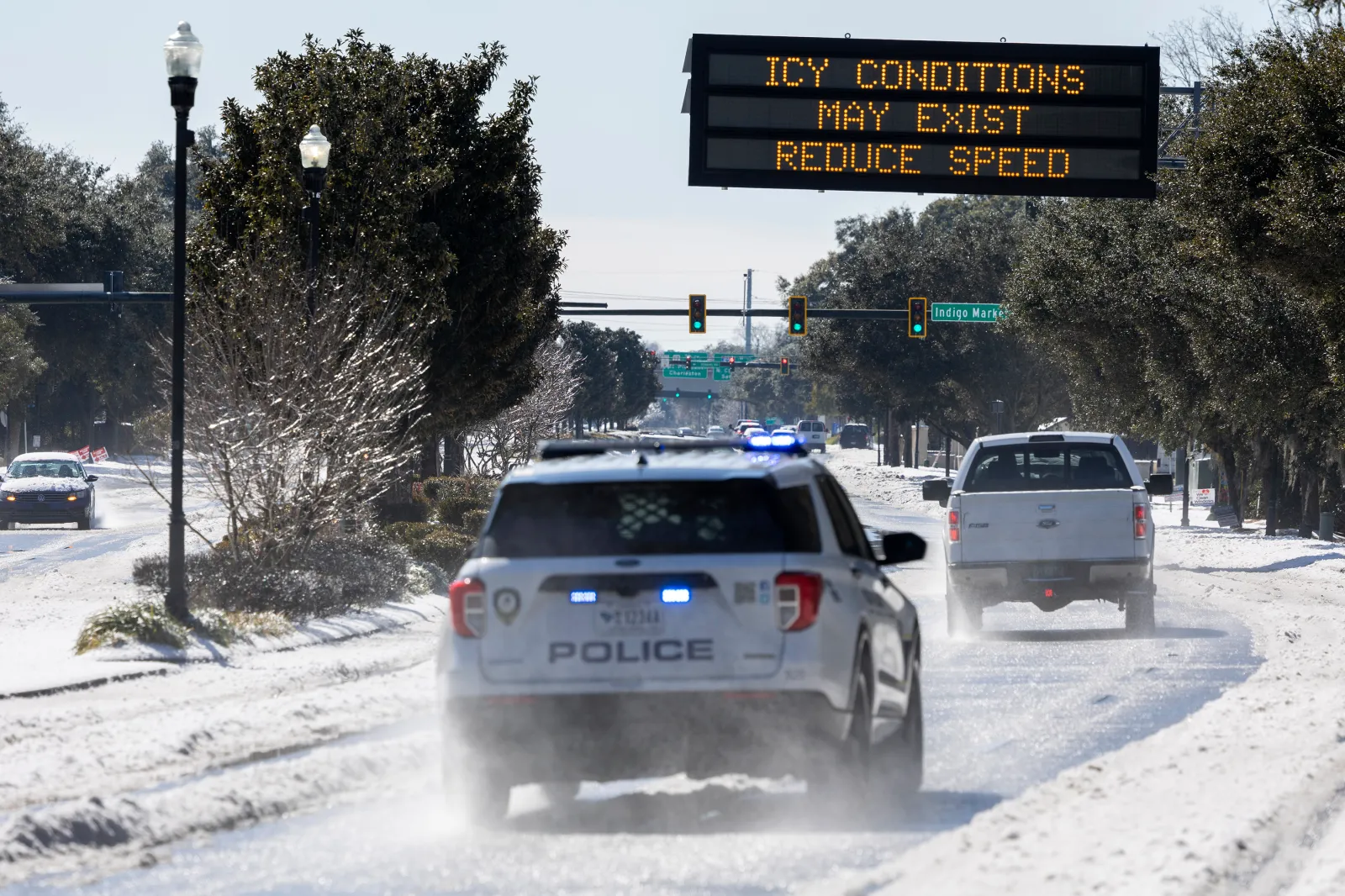
Persistent heavy snow and gusty winds are poised to make travel increasingly hazardous in affected regions. Officials are urging drivers to stay off the roads unless absolutely necessary, as accumulating snow, blowing and drifting, and sharply reduced visibility are expected to create slick and dangerous conditions — particularly on bridges and overpasses.
What To Know
The areas of the North and Midwest forecast to experience the most significant impacts from ongoing snowfall and high winds include parts of Alaska, Michigan, and Indiana.
In Alaska, residents have been warned to prepare for up to 8 inches of snow and winds that could reach 40 mph. The most affected zones include the lower Yukon River, lower Yukon and Innoko Valleys, the north slopes of the Western Alaska Range, the upper Kuskokwim Valley, and the Yukon Delta Coast. Ice accumulations of 0.1 to 0.2 inches are also expected from Sunday morning through Wednesday afternoon, raising the risk of power outages.
In Michigan, several counties could see additional snowfall along with worsening travel conditions.
- Alcona, Arenac, Gladwin, Iosco, and Ogemaw Counties may receive up to 3 inches of snow.
- Alpena and Presque Isle Counties could see up to 5 inches.
- Eastern Mackinac and southeast Chippewa Counties may pick up between 3 and 6 more inches of snow.
“Increasingly gusty winds” are anticipated through Sunday morning until around 1 p.m., which is likely to cause areas of drifting snow and further reduce visibility.
In northern Indiana, including Marshall, northern Kosciusko, and Starke Counties, forecasters say residents should be prepared for up to 4 inches of snow and winds as strong as 35 mph through Sunday night.
What Officials Are Saying
The NWS has issued detailed safety guidance for anyone who must travel despite the conditions:
“Leave plenty of room between you and the motorist ahead of you, and allow extra time to reach your destination. Avoid sudden braking or acceleration, and be especially cautious on hills or when making turns. Make sure your car is winterized and in good working order.
“If travel is absolutely necessary, drive with extreme caution and be prepared for sudden changes in visibility.
“Snow will continue to cause slick roads and travel impacts. Overall, travelers should use extra caution and allow for extra travel time, including the possibility of moderate, prolonged snowfall at times, which may lead to hazardous travel conditions.”
What Happens Next
Residents and travelers in all affected regions are urged to keep a close eye on local forecasts and alerts, as conditions may shift quickly with changing storm tracks and wind patterns. Staying informed — and adjusting travel plans when possible — will be key to staying safe as the winter weather continues.