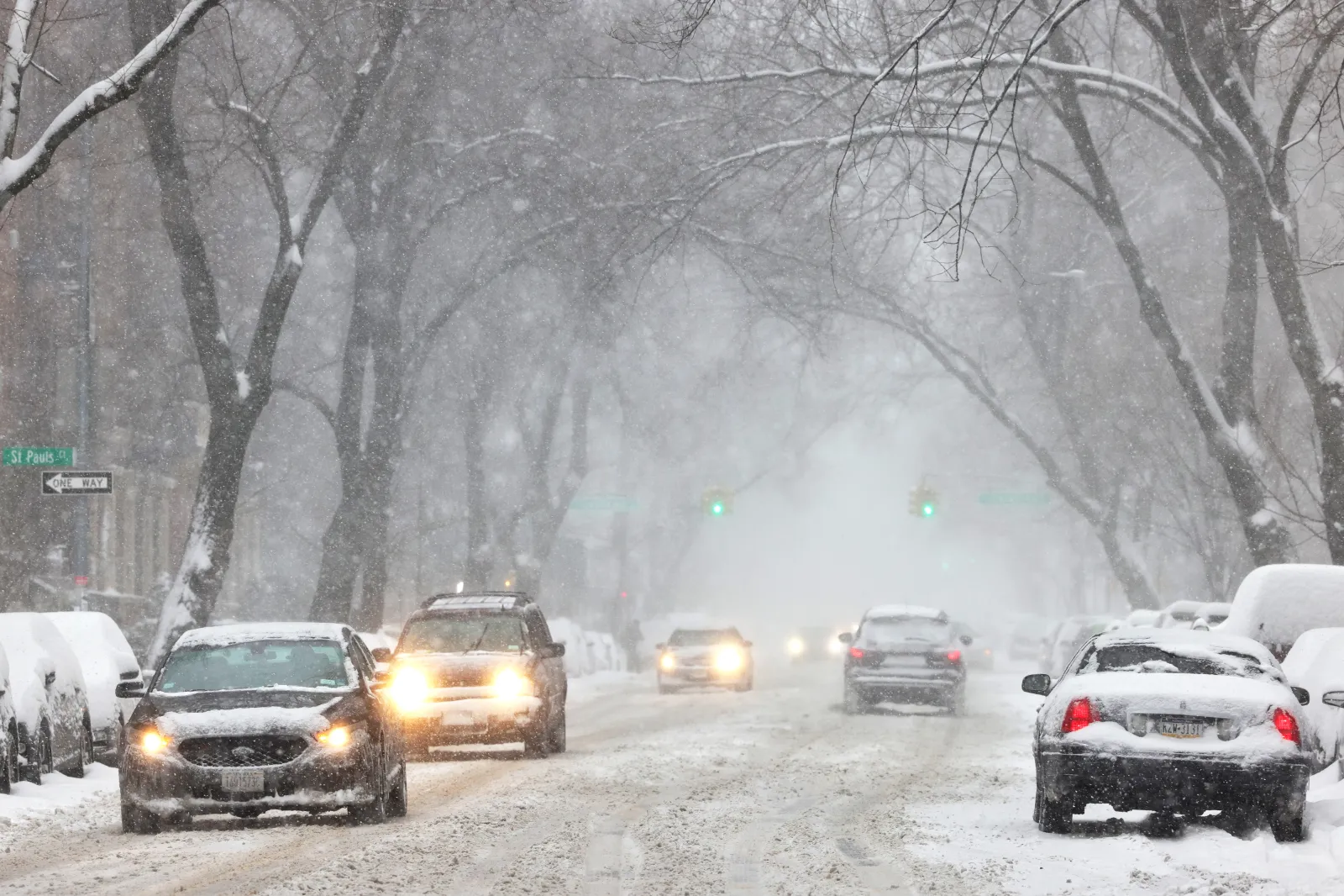
Major winter storms can dump heavy snow, create deep drifts, form ice, and whip up strong winds. Together, these conditions can quickly turn roads—especially bridges and overpasses—into slick, hazardous, or even completely blocked routes.
What To Know
The National Weather Service (NWS) has issued winter storm warnings from Tuesday through Wednesday across a wide stretch of the country, urging people in the hardest-hit regions to “delay all travel if possible.” States expected to be most affected include Massachusetts, Vermont, Georgia, New York, Maine, Alaska, Pennsylvania, Ohio, Kentucky, Montana, Wyoming, and Colorado.
In New England and the Northeast, northern Worcester, northern Middlesex, and eastern Franklin counties in Massachusetts, parts of east central and southeastern New York, and northern and southern Fulton counties in Georgia could receive around 5 to 9 inches of snow from Tuesday into Wednesday morning in some locations.
Central and southern Vermont may also see up to 9 inches, with the Green Mountains potentially getting as much as 12 inches of accumulation.
In Maine, portions of coastal DownEast, interior DownEast, and the Penobscot Valley could pick up as much as 8 inches of snow, combined with winds near 35 mph. That could lead to blowing and drifting snow—particularly around Bangor and interior DownEast areas—and scattered power outages, especially along the coast.
Farther north and west, several regions in Alaska—including the Dalton Highway summits, the lower Yukon River area, the lower Yukon and Innoko Valleys, the north slopes of the western Alaska Range, the upper Kuskokwim Valley, and the Yukon Delta Coast—are forecast to receive between 4 and 8 inches of snow. Ice accumulations up to 0.20 inches and winds up to 40 mph are possible through Wednesday afternoon. The Bering Strait coast and St. Lawrence Island could see up to 1 inch of snow with gusts up to 50 mph into Tuesday evening, while the eastern Alaska Range and southern Denali Borough are expected to pick up 3 to 6 inches, with up to 10 inches over higher elevations.
In Pennsylvania, Carbon and Monroe counties may get as much as 6 inches of snow and additional ice through Tuesday night, and parts of central Pennsylvania could similarly see up to 6 inches by Tuesday afternoon.
Across the Midwest and Appalachians, parts of north central and northeast Ohio may receive up to 5 inches of snow through Tuesday night. Some counties in east central, south central, and southeast Kentucky could see up to 3 inches of snow along with ice accumulation through mid-morning Tuesday.
Out West, Montana’s northern Bighorn Mountains may see up to 9 inches of snow and winds near 30 mph, while the Beartooth Foothills and Red Lodge Foothills could receive up to 5 inches from Tuesday into Wednesday morning.
In Wyoming, the Sierra Madre Range and Snowy Range are forecast to pick up 5 to 10 inches of snow with winds around 50 mph through Wednesday morning. The Teton and Gros Ventre Mountains could see up to 12 inches of snow, combined with 35 mph winds, through Tuesday night.
In Colorado, the Southern Front Range Foothills, Denver metro area, and Palmer Divide could get up to 7 inches of snow through Wednesday night, with the heaviest totals likely in the southern foothills and along the Palmer Divide.
What Happens Next
Even those outside the primary warning zones are urged to travel carefully if they must be on the roads and to keep a close eye on local forecasts. Winter weather can intensify or shift quickly, and conditions may deteriorate with little notice.