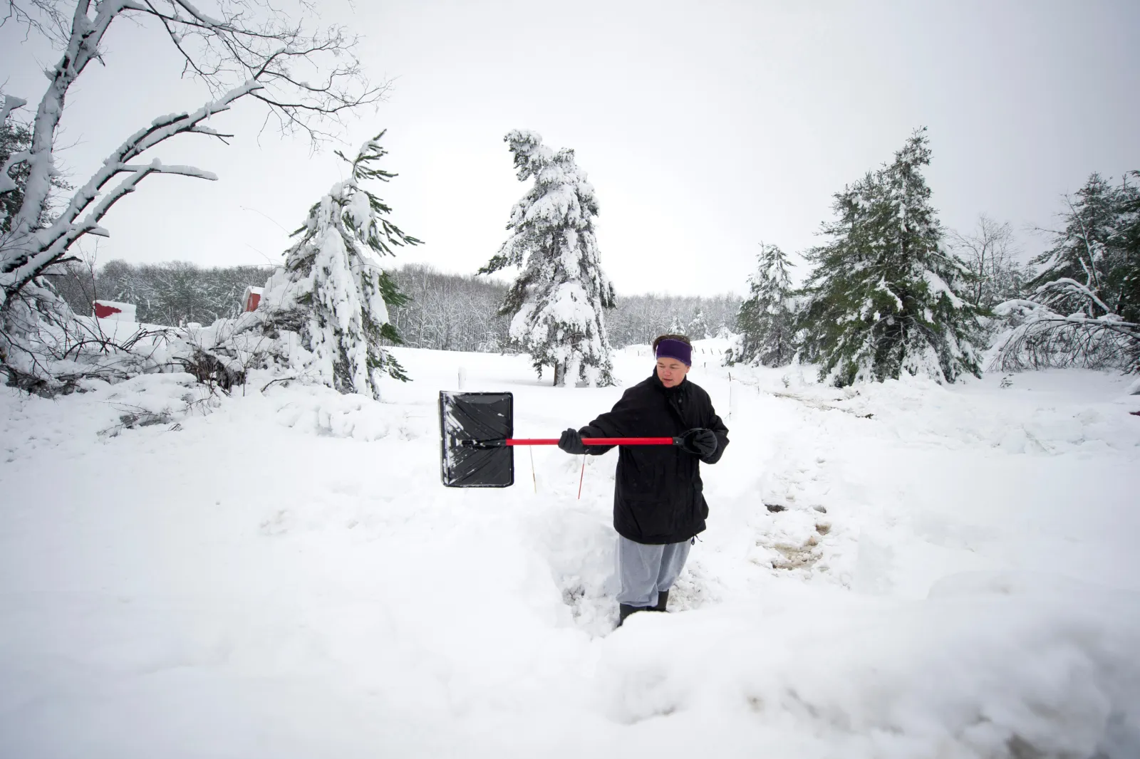
Winter storm warnings are in effect across multiple regions of the United States, with residents and travelers urged to prepare for heavy snowfall—possibly up to 15 inches—along with strong winds from Sunday into Monday morning, according to the National Weather Service (NWS).
The most impacted areas include parts of Pennsylvania and West Virginia, New Jersey, Maryland, and sections of Alaska.
Pennsylvania and West Virginia
In western Pennsylvania, communities such as Ambridge, Beaver Falls, and Lower Burrell—along with higher elevations in Westmoreland County—could see as much as 12 inches of snow. The northern panhandle of West Virginia, including areas like Weirton, Moundsville, Fairmont, and Donegal, is also in line for significant accumulation. Winds of 35 to 45 mph are expected through Sunday and may persist into early Monday in some locations.
Elsewhere in West Virginia—particularly central, southeast, southern, and western regions—lighter totals are forecast. Cities including Hurricane, Point Pleasant, and Teays Valley could receive up to 2 inches of snow by Sunday afternoon.
New Jersey
Snowfall is expected to spread across central, northern, and southern New Jersey, with totals ranging from 4 to 6 inches through Sunday afternoon. Officials warn that travel may become “very difficult,” especially as accumulation increases.
Maryland
Western Garrett County in Maryland is forecast to receive 4 to 8 inches of snow, with the far western areas possibly reaching 10 inches. Wind gusts could hit 35 mph through Sunday afternoon, leading to blowing snow and sharply reduced visibility—potentially down to a quarter mile at times.
Drivers in particular are urged to use caution along major routes such as I-68 and US-40, especially west of Big Savage Mountain, where conditions could deteriorate quickly.
Alaska
In Alaska, residents of Hyder are expected to see 11 to 14 inches of snow from overnight Saturday through Sunday and into Monday morning.
Other parts of Southeast Alaska are also under threat. Admiralty Island, eastern Chichagof Island, and the City and Borough of Juneau could receive up to 12 inches of snow through Sunday into Monday, with winds potentially reaching 60 mph and striking hardest in downtown Juneau.
Meanwhile, Petersburg, western Kupreanof Island, and Kuiu Island may face some of the most intense conditions, with forecasts calling for 8 to 15 inches of snow and winds near 40 mph through Monday morning.
Officials: Delay Travel, Stay Prepared
The NWS office in Pittsburgh warned that people should stay indoors until conditions improve, and advised anyone going outside to dress in layers and cover exposed skin to reduce the risk of frostbite or hypothermia.
The NWS office serving West Virginia recommended delaying travel whenever possible. For those who must drive, officials advised keeping emergency supplies in the vehicle—including a flashlight, food, and water—and checking road conditions through 511 services or state roadway portals.
In Alaska, the NWS cautioned that travel will be extremely difficult and should be avoided unless absolutely necessary.
Residents in affected areas are urged to monitor local forecasts closely for updates as the storm system moves through.