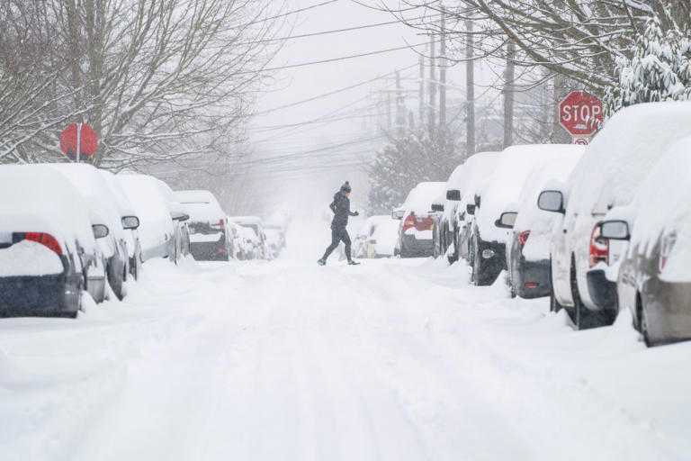
Winter storm warnings are in effect for parts of Alaska and Washington, where forecasters expect heavy snow and strong winds from overnight Monday into Tuesday and continuing through Wednesday. The combination could make travel hazardous, disrupt outdoor plans, and significantly reduce visibility in exposed areas, according to the National Weather Service (NWS).
What to Know
Alaska and Washington are expected to see the most significant impacts from the current storm system, including difficult driving conditions, blowing snow, and periods of strong gusts.
Alaska
Several regions in Alaska could see heavy snow and high winds through Tuesday morning, with additional areas impacted from Tuesday into Wednesday.
Southeast Alaska
- Hyder, eastern Chichagof Island, and the City and Borough of Juneau: Up to 7 inches of snow. Chichagof Island and Juneau may also see winds up to 40 mph.
- Cape Fairweather to Lisianski Strait, Petersburg Borough, western Kupreanof Island, Kuiu Island, Prince of Wales Island, and the City and Borough of Sitka: Up to 5 inches of snow, with winds in the 35–40 mph range.
Northern Alaska
- Arctic Plains and central Brooks Range: Up to 2 inches of snow with winds around 35 mph, from Tuesday afternoon through Wednesday afternoon.
- Central Beaufort Sea coast (coastal areas): Similar snowfall totals, with winds up to 40 mph, also from Tuesday into Wednesday afternoon.
Washington
Mountain passes and higher elevations are expected to take the brunt of the storm, with heavy snow and gusty winds likely to produce blowing snow and sharply reduced visibility through Wednesday night.
- Stevens Pass, Stehekin, and Holden Village: 4–8 inches of snow with wind gusts up to 50 mph through Wednesday night.
- Cascades of Snohomish and northern King counties; Cascades of Whatcom and Skagit counties: 10–18 inches of snow and winds around 35 mph, with the highest totals expected near Stevens Pass and even more possible at higher elevations, through Wednesday evening.
- South Washington Cascades: 6–11 inches from Tuesday night into Wednesday night, with the greatest accumulation expected above 3,000 feet.
- Upper slopes of the eastern Washington Cascades Crest; the Olympics; Cascades of Pierce and Lewis counties; Cascades of Southern King County: Around 10 inches of snow with winds of 35–45 mph, from Tuesday afternoon through Wednesday night.
What Officials Are Saying
The NWS office in Alaska warned: “Travel will be very difficult and is discouraged unless it is an emergency. The hazardous conditions could impact the morning or evening commute.”
The NWS office in Washington advised drivers to prepare a winter emergency kit, including items such as a flashlight, batteries, blankets, a shovel, water, non-perishable food, and tire chains.
What Happens Next
Residents in affected regions should monitor local forecasts and alerts closely, as conditions may shift and additional rounds of snow, ice, and strong winds could impact other areas over the next few days.