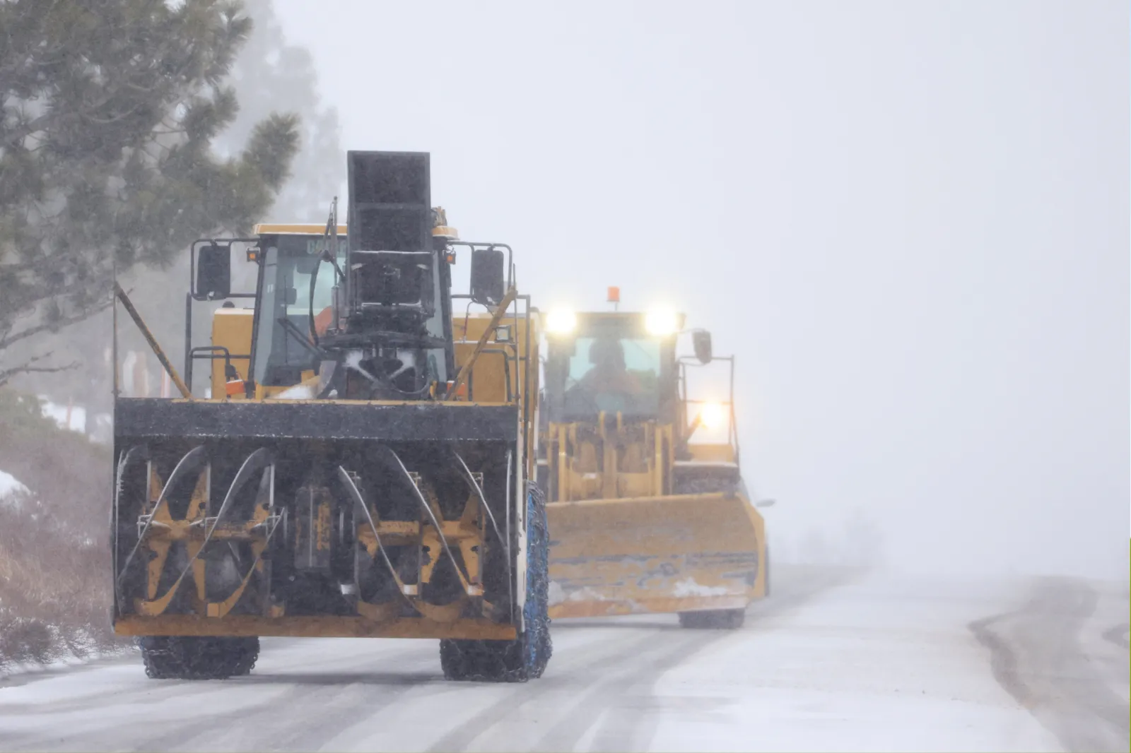
Winter weather warnings are in effect across multiple states as forecasters expect high winds and heavy snowfall—potentially up to 40 inches in some mountain areas—from Saturday night into Sunday, with some impacts lingering into next week, according to the National Weather Service (NWS). Officials cautioned that in certain locations, “travel could be very difficult to impossible.”
What to Know
California, Washington, Wyoming, Montana and Idaho are expected to see some of the most significant impacts.
California
A winter storm warning is in place for parts of Yosemite National Park outside the valley through Friday afternoon. Forecasters said the area could see up to 8 feet of snow, along with winds near 50 mph over the next several days. The heaviest snowfall is expected on Tuesday.
Washington
In the Cascades of Whatcom and Skagit Counties, totals of roughly 12 to 22 inches of snow are forecast from Sunday morning into early Monday.
Wyoming and Montana
From Sunday into Monday afternoon, the Salt River and Wyoming Ranges, the Absaroka Mountains and areas around Yellowstone National Park could receive up to 30 inches of snow above 8,000 feet. The Teton and Gros Ventre Mountains may see up to 40 inches. Winds of 40 to 50 mph could create blowing snow and reduce visibility to less than a quarter mile.
The Wind River Mountains—both east and west—could also pick up as much as 40 inches of snow. The NWS warned that winds may reach 70 mph, especially near South Pass and Red Canyon from Sunday afternoon into the evening.
The Beartooth and Crazy Mountains may receive up to 3 feet of snow, particularly on south- and west-facing slopes, accompanied by winds near 40 mph through Monday afternoon. The NWS warned that “avalanche danger will continue.”
Idaho
In the Big Lost Highlands, Copper Basin, Frank Church Wilderness, Sawtooth, Stanley Basin and the Sun Valley region, the NWS expects 3 to 6 inches along valley floors and 8 to 18 inches in higher elevations above 7,000 feet. The heaviest period is forecast from early Sunday morning through mid-morning Monday.
What People Are Saying
The NWS advised anyone who must drive to prepare for emergencies: “Keep an extra flashlight, food, and water in your vehicle in case of an emergency. Call 511.”
The NWS office in Montana said: “Recreation in the high country will be impacted by heavy accumulating snow and blowing snow.”
What Happens Next
The NWS urged residents and travelers to use extra caution during morning and evening commutes and to reconsider travel plans in the hardest-hit areas. That could complicate trips in the lead-up to Christmas, when many people travel to visit family and friends.