Holiday travel alerts are in effect for parts of California as a powerful winter storm is expected to bring heavy snowfall and damaging winds from late Sunday into Monday, with impacts lingering through Friday in many areas. Forecasters say conditions could make travel “very difficult to impossible,” disrupting holiday plans for thousands.
What to know
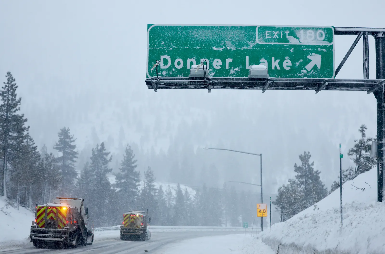
The Greater Lake Tahoe region—Tahoe City, Incline Village, Markleeville, South Lake Tahoe, Truckee, Stateline, and Glenbrook—could see up to 2 feet of snow at lake level and as much as 4 feet above 7,000 feet, along with winds up to 100 mph, from Tuesday night through Friday morning.
Farther west, 3 to 6 feet of snow is forecast for the western slopes of the northern Sierra Nevada, as well as western Plumas County and Lassen Park. Those totals include mountain travel corridors along Interstate 80 and Highway 50, with winter storm warnings expected to remain in place until Friday morning.
In Mono County, forecasters expect 10 to 20 inches of snow by Friday morning, particularly along U.S. 395. Higher elevations above 7,000 feet could reach up to 4 feet, with winds up to 100 mph.
In and around Yosemite National Park, conditions could be even more extreme: up to 8 feet of snow and 50 mph winds are expected from late Sunday into Monday, with storm impacts continuing through Friday. South of Yosemite, Sierra Nevada areas above 6,000 feet could receive up to 5 feet of snow and similar wind speeds through Friday afternoon.
In Siskiyou County, including Snowman’s Summit, totals of 1 to 3 feet of snow with winds up to 60 mph are possible. Some locations above 4,500 feet could approach 5 feet of snow by Friday.
In Modoc County, the storm could deliver up to 15 inches of snow with winds up to 55 mph from Monday evening through Friday morning, with the highest totals expected over the Warner Mountains.
What officials are saying
The National Weather Service warned residents and travelers across multiple regions:
- “Travel could be very difficult to impossible. The hazardous conditions could impact the Monday morning and evening commutes. The combination of strong winds and the weight of heavy snow accumulations could damage trees and power lines.”
- “Dangerous travel conditions with chain controls and road closures possible. Low visibility due to a combination of wind and heavy snow.”
- “Persons should consider delaying all travel. If travel is absolutely necessary, drive with extreme caution. Consider taking a winter storm kit along with you, including such items as tire chains, booster cables, flashlight, shovel, blankets and extra clothing. Also take water, a first aid kit, and anything else that would help you survive in case you become stranded.”
What happens next
People in the storm zone are urged to keep an eye on local forecast updates. If travel can’t be avoided, officials recommend checking road conditions before leaving by calling 5-1-1 for the latest updates.