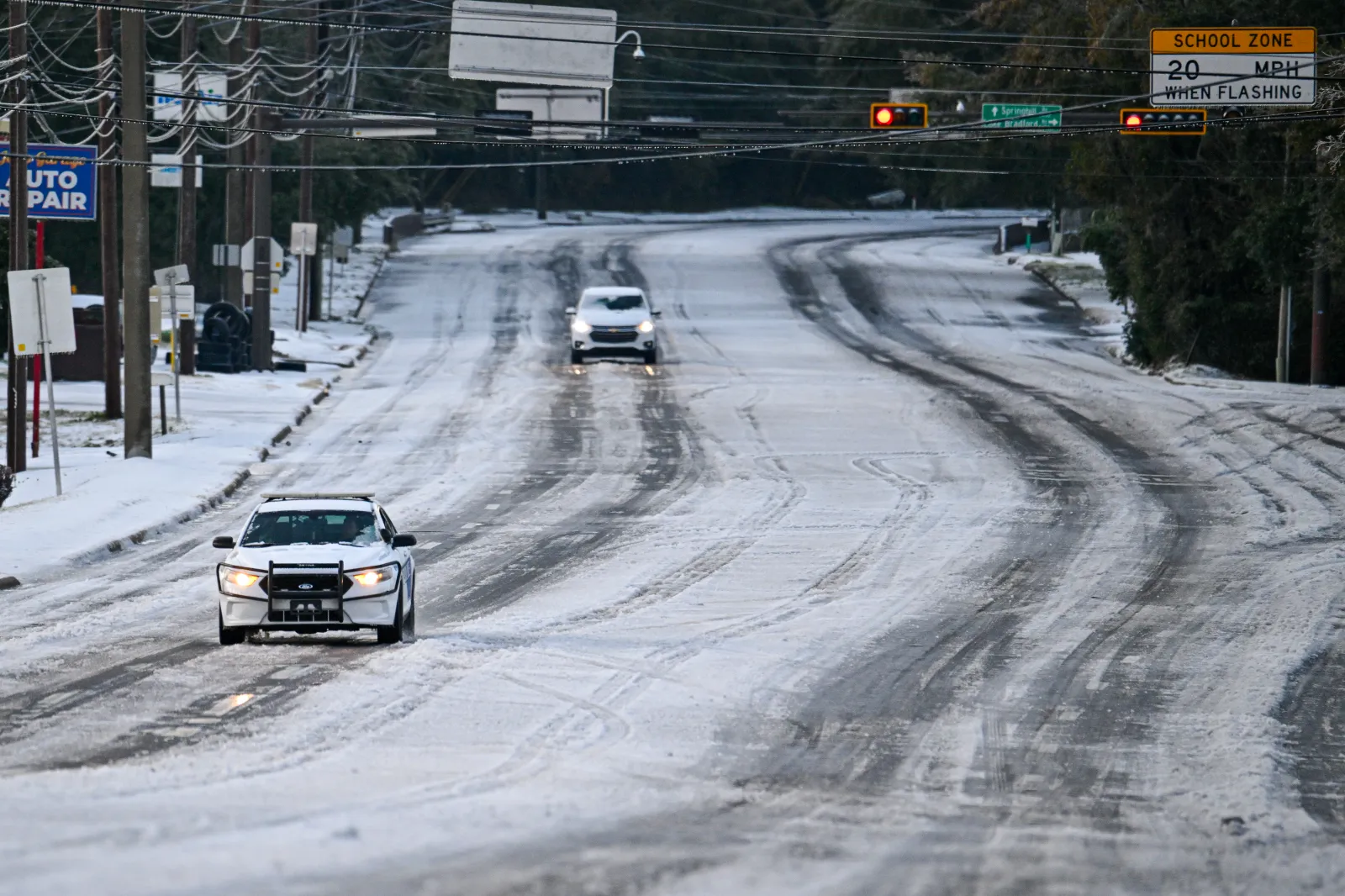
A fresh surge of Arctic air is pushing into the U.S. Southeast this weekend, raising the odds of snow in parts of the region — including portions of Florida.
The cold snap follows a front that brought showers to west-central Florida on Wednesday. National Weather Service (NWS) offices across the state have issued multiple cold-weather alerts this week, warning that this could be the coldest stretch of the season for some areas known for typically mild winters.
Forecasters say the chilliest conditions are expected Friday morning. Cold-weather advisories extend unusually far south, reaching Florida’s southernmost regions, including Miami and other typically tropical areas.
Some forecasters are also watching the potential for wintry precipitation late in the weekend. Weather chaser Max Velocity wrote on X that “SNOW is becoming more likely across the Southeast on Sunday!” alongside a screenshot of the Global Forecast System (GFS) model.
According to that model, parts of the Florida Panhandle show a 60 percent chance of at least 1 inch of snow. Probabilities rise to around 80 percent in parts of Alabama and Georgia, while portions of coastal South Carolina show a 10 percent chance.
Across Florida, millions have been cautioned to prepare for freezing temperatures. Freeze warnings and cold weather advisories have been posted for parts of northern and central Florida, where temperatures could drop into the low 20s.
In a Thursday forecast update, the NWS said sub-freezing overnight lows were expected to continue for many locations, including areas under Freeze Warnings where cold could damage crops and other sensitive plants.
In South Florida, officials warned that wind chill could make conditions feel even colder, with temperatures effectively dipping to around 30 degrees in some spots. The NWS Miami office also urged residents to take precautions against hypothermia, advising people to dress in layers, limit time outdoors, and check on older neighbors. The agency also warned to keep pets inside when possible and to use portable heaters safely — and never run grills or generators indoors.
NWS meteorologist George Rizzuto told Newsweek that Miami’s typical low for this time of year is 73 degrees. By Friday morning, he said, wind chills could make it feel closer to 38 degrees.
Temperatures were already falling sharply by Thursday, with some areas seeing morning readings about 10 degrees Fahrenheit colder than the day before — and additional drops expected overnight.
AccuWeather meteorologist Brandon Buckingham said the front could drive temperatures down by 25 degrees or more in some locations, leaving many people across northern and central Florida waking up to freezing conditions Friday. He also noted potential impacts on agriculture and sensitive vegetation.
Wildlife could feel the effects too. Buckingham pointed to a familiar Florida cold-weather oddity: green iguanas can become cold-stunned when temperatures fall into the 40s and 30s, sometimes losing their grip and dropping from trees.