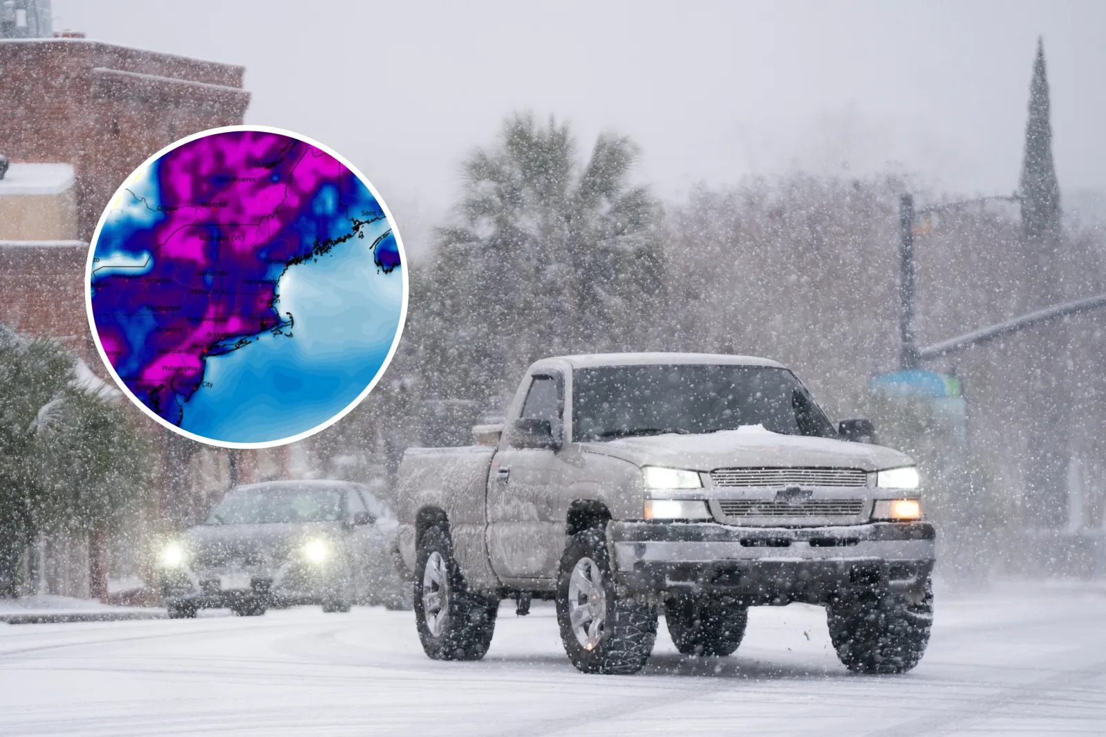
A powerful Arctic front is sweeping across a wide stretch of the U.S., unleashing heavy snow, fierce wind gusts and dangerously cold wind chills—conditions that have triggered winter storm warnings and advisories in 13 states.
Forecasters say the most intense impacts are expected in the mountains of West Virginia, where snowfall totals could reach 10 inches and wind gusts may top 60 mph. Those winds could whip snow into near white-out conditions late Friday into early Saturday, making travel hazardous.
“A strong Arctic front will deliver heavy upslope snow showers and squalls, strong winds, and dangerously cold wind chills to the Alleghenies late Friday into Saturday,” the National Weather Service said.
Meteorologists are also warning that fast-moving squalls could quickly drop visibility below a quarter mile, while blowing and drifting snow may turn Friday evening travel into a high-risk situation in some areas.
West Virginia
Winter storm warnings are in effect across much of the state from late Friday morning into early Saturday. Forecasts call for 4 to 8 inches of snow, with locally higher totals along western favored ridges such as Backbone Mountain, Piney Mountain, and Keysers Ridge.
The strongest winds are expected in the high terrain, where gusts could reach 55 to 60 mph and create dangerous blowing snow.
In Preston and Tucker counties, 5 to 8 inches are expected through 6 a.m. Saturday. Western Greenbrier County could see the highest totals—up to 10 inches—through 10 a.m. Saturday.
Farther into central, western and southern West Virginia, winter weather advisories continue into early Saturday. Most areas should see 1 to 4 inches, but even lighter snow could quickly turn roads slick during the evening commute—especially if squalls move through and visibility drops abruptly.
Virginia
Winter weather advisories span the southwest mountains—Tazewell, Smyth, Bland, Giles, Grayson, Craig, Alleghany and Bath—from 1 p.m. Friday to 7 a.m. Saturday.
Snow totals are projected from 1 to 6 inches, with the most accumulation along the highest peaks. Wind gusts could reach 60 mph, raising the risk of sudden white-out bursts and rapidly worsening road conditions. Forecasters also note an increased risk of isolated tree damage as winds peak.
Western Highland County is under the same advisory window, with 2 to 4 inches expected.
Maryland
Garrett County is under a winter storm warning from 10 a.m. Friday to 7 a.m. Saturday. Forecasts call for 6 to 8 inches of snow, with gusts of 50 to 60 mph likely to drive significant drifting.
Travel could become especially dangerous on high-elevation stretches of I-68.
In Extreme Western Allegany County, an advisory runs from 1 p.m. Friday to 7 a.m. Saturday, with 2 to 4 inches expected and similar wind potential.
Pennsylvania
The Laurel Highlands—Cambria and Somerset counties—are under an advisory from 10 a.m. Friday to 7 a.m. Saturday. Forecast snowfall is 2 to 4 inches, though higher ridges could reach up to 8 inches. Winds may gust up to 55 mph, particularly west of US-219, increasing the threat of blowing snow and poor visibility.
Additional advisories cover higher elevations in Westmoreland, Fayette and Indiana counties through early Saturday.
Farther north, Crawford, Northern Erie and Southern Erie counties are under advisories from 7 a.m. Friday to 1 a.m. Saturday, with 2 to 5 inches expected. Blowing snow may reduce visibility into the evening.
Ohio
A broad winter weather advisory stretches from Cincinnati through Dayton and Columbus from 6 a.m. to 6 p.m. Friday. Snow totals are expected to be lighter—around 1 to 2 inches—but timing during commute hours could still create slick, hazardous roads.
In northeast Ohio, including Cleveland, Lake, Ashtabula, Summit and Portage counties, advisories extend from 7 a.m. Friday to 1 a.m. Saturday, with 2 to 4 inches expected and gusts up to 45 mph. Squalls Friday evening could quickly coat roads and cause sudden visibility drops.
New York
Much of western New York—including Niagara, Orleans, Erie, Chautauqua and Cattaraugus counties—remains under advisories from 7 a.m. Friday to 7 p.m. Saturday. Forecast totals range from 3 to 6 inches, with areas of blowing snow.
Along the Lake Ontario shoreline and inland zones from Monroe to Oswego and Ontario counties, advisories run from 1 p.m. Friday to 7 a.m. Sunday. Forecasters expect 4 to 7 inches as lake-effect bands redevelop behind the front.
Farther east, Eastern Rensselaer County enters an advisory from 7 p.m. Friday to 7 p.m. Saturday, with 3 to 5 inches expected—highest across the Rensselaer Plateau.
Michigan
In the Upper Peninsula, lake-effect snow continues through 10 a.m. Friday for Keweenaw, Ontonagon, Northern Houghton and Gogebic counties. Up to 3 inches are expected, along with wind gusts near 40 mph.
Marquette County’s advisory also runs to 10 a.m. Friday, while Alger County continues until 7 p.m. with 1 to 4 inches and widespread blowing snow.
In the Lower Peninsula—from Muskegon and Grand Rapids through Lansing, Jackson and Kalamazoo—advisories remain in effect until 1 p.m. Friday. Light snow and a thin glaze of ice could make the morning commute hazardous.
North Carolina
Avery, Madison, Mitchell and Yancey counties are under advisories from 1 p.m. Friday to 7 a.m. Saturday. Most elevations are expected to see 1 to 4 inches, with up to 7 inches possible near the Tennessee border.
Along the highest ridgelines, wind gusts of 60 to 75 mph could down branches and create drifting snow.
Kentucky
From Lexington and Frankfort into surrounding counties, advisories run from 7 a.m. to 5 p.m. Friday, with up to 1 inch expected and isolated totals reaching 2 inches.
In northeast Kentucky, an advisory runs 7 a.m. Friday to 1 a.m. Saturday with 1 to 3 inches expected.
In the southeast—Harlan, Letcher and Pike counties—advisories are in effect from 10 a.m. Friday to 7 a.m. Saturday. Forecast totals are 1 to 2 inches in lower elevations, with 2 to 4 inches above 2,000 feet.
Indiana
East-central and southeast Indiana—including Wayne, Fayette, Franklin, Ripley, Dearborn, Ohio and Switzerland counties—are under advisories from 6 a.m. to 6 p.m. Friday, with 1 to 2 inches expected.
Jefferson County is under a separate advisory from 7 a.m. to 5 p.m. Friday with similar impacts.
Tennessee
In the mountains of east Tennessee—including Johnson, Unicoi and the higher Smokies—an advisory runs from 1 p.m. Friday to 7 a.m. Saturday.
Forecasters expect 1 to 4 inches above 2,500 feet, with the highest peaks topping 4 inches. Blowing snow could produce sudden hazardous travel conditions.
Vermont
Bennington County is under an advisory from 7 p.m. Friday to 7 p.m. Saturday, with 3 to 5 inches expected, particularly across the southern Green Mountains.
Alaska
The Pribilof Islands remain under an advisory until 7 a.m. Friday AKST for a wintry mix that could include up to 2 inches of snow and a light glaze.
In the Kuskokwim Delta, an advisory is in effect from 3 a.m. to noon Friday for light snow and freezing rain, which may affect travel between Kipnuk, Bethel and Quinhagak.