A meteorologist is warning that the Western U.S. is “about to get pounded” with heavy snow, as forecast models suggest some mountain areas could see up to 10 feet of snow over the next 10 days.
The forecast comes after a slow start to the season in several western states, including Colorado, Utah, and California, where snowfall has lagged behind normal levels. California water officials have also warned that the state’s snowpack is well below where it typically is for this time of year—an issue that could affect water supplies and drought planning heading into the drier months.
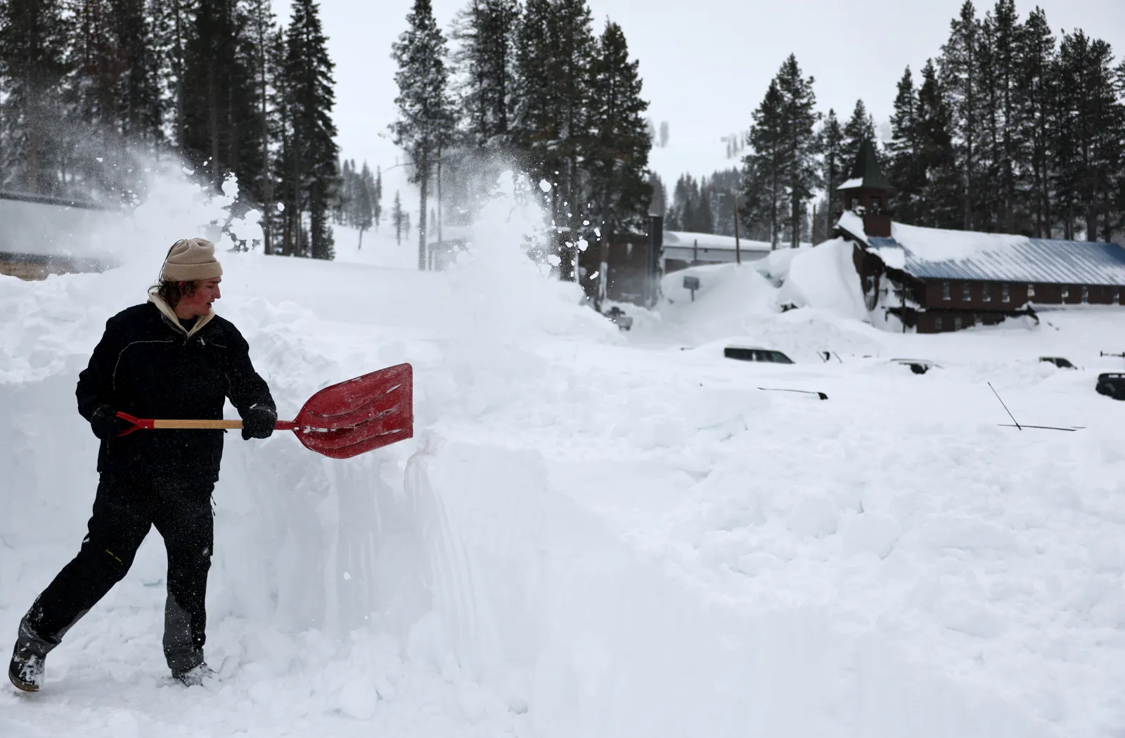
Ski resorts across the West have also reported a notable lack of snow so far. The National Weather Service (NWS) says that pattern is expected to shift, with multiple storms bringing heavier winter precipitation.
Winter storm warnings have been in effect across parts of California, Wyoming, and Colorado, with up to 24 inches of snow possible in some high-elevation areas this week. Meteorologist Jeff Berardelli said more significant snowfall is expected as additional systems move through.
The first storm in the series reached California on Tuesday. AccuWeather meteorologists said further storm chances could arrive later this week, continue into the weekend, and extend into next week.
AccuWeather noted the pattern change is expected to end California’s extended dry stretch and bring several rounds of rain, gusty winds, and significant mountain snow. While the storms should help improve snowpack and support reservoirs, forecasters also cautioned that they could lead to travel disruptions and operational challenges along major routes.
As of Wednesday evening, many of the existing winter storm warnings were expected to expire within hours or by Thursday morning, depending on location. If heavier snow develops, the NWS may issue additional alerts.
In its latest forecast discussion, the NWS said an upper-level system moving onshore over California is expected to bring rain and higher-elevation snow into the Southwest through Thursday morning, with precipitation continuing over the Great Basin through Friday.
Looking ahead, the NWS Climate Prediction Center projects a chance of above-average precipitation across California and much of the West through February 25, along with below-average temperatures in California—conditions that increase the likelihood that much of the precipitation in higher elevations will fall as snow.