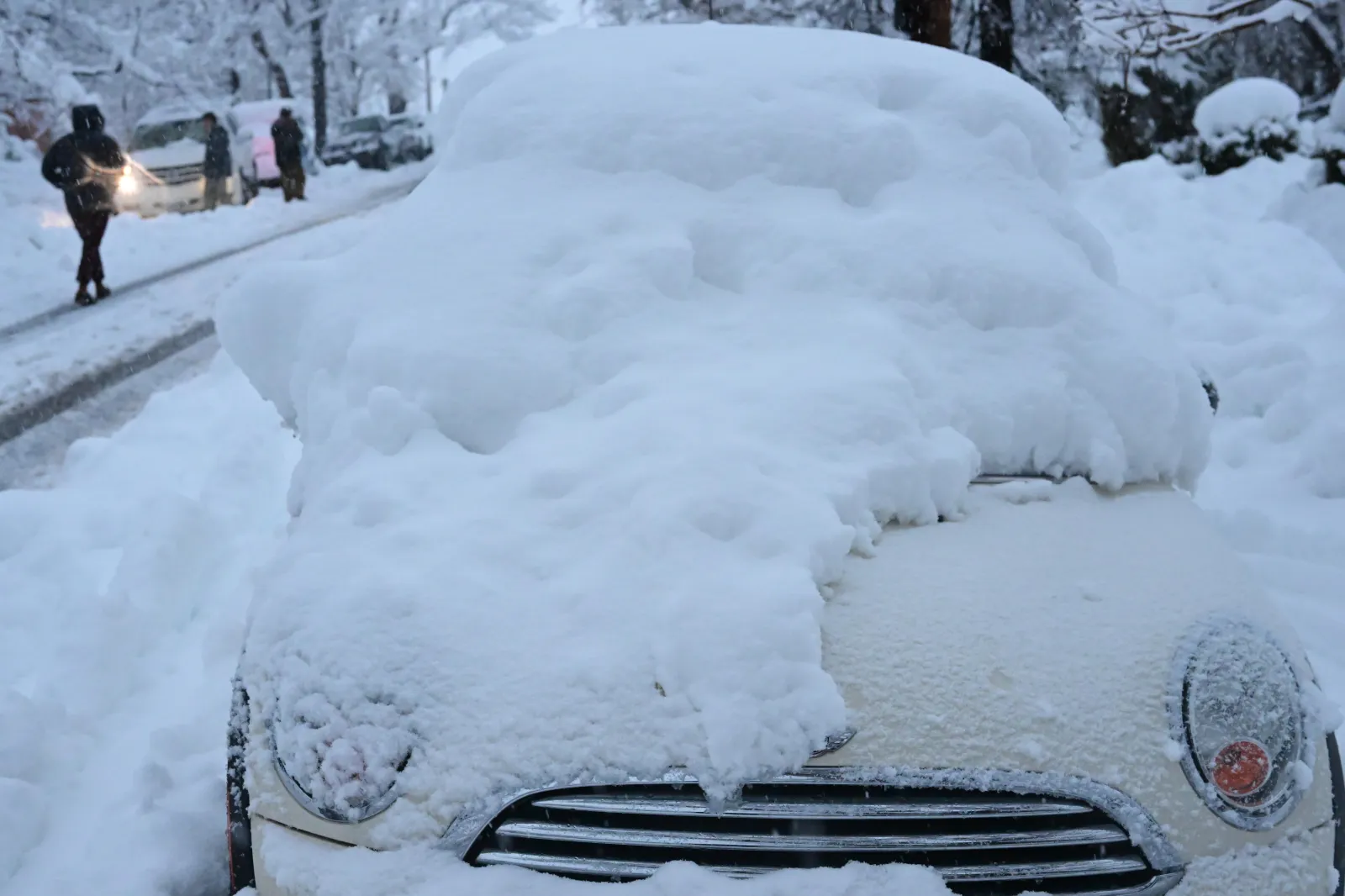
Portions of Colorado are under a winter storm warning from Friday into the weekend, with some high-elevation areas bracing for as much as 2 to 3 feet of snow.
This is shaping up to be one of the state’s first significant winter storms of the season. The National Weather Service (NWS) has warned that snowfall totals could exceed 20 inches across the northern and central mountain regions.
The storm is expected to create hazardous travel along key interstates and mountain passes, raising the risk of road closures, transit delays and widespread disruption for residents, travelers and commuters. Officials are urging people to prepare for dangerous driving conditions and be ready for potential emergencies.
According to the NWS, affected areas include:
- Flat Tops
- Gore and Elk Mountains
- Central Mountain Valleys
- West Elk and Sawatch Mountains
- Elkhead and Park Mountains
- Sierra Madre and Snowy Ranges
- Eastern Sawatch Mountains
- Western Mosquito Range
- East Lake County above 11,000 feet
- Rabbit Ears Pass
- Rocky Mountain National Park
- Medicine Bow Range
- The Mountains of Summit County
- Mosquito Range
- Indian Peaks

Additional locations impacted include Grand and Summit Counties below 9,000 feet, as well as the Wasatch Mountains, Central Mountains, Wasatch Plateau and Book Cliffs, Western Uinta Mountains and the Wasatch Back.
The NWS says 12 to 24 inches of snow could fall over the Elkhead and Park Mountains, “with locally higher amounts possible,” and wind gusts may reach up to 60 mph, further reducing visibility and worsening road conditions.
The Sierra Madre and Snowy Ranges could also receive up to 2 feet of snow. Eastern Sawatch Mountains, the Western Mosquito Range and east Lake County above 11,000 feet may see accumulations approaching 20 inches. Rabbit Ears Pass could experience isolated totals near 30 inches, while the Wasatch Mountains could pick up as much as 3 feet of snow, according to the NWS.
The agency is strongly advising residents and travelers to reconsider their plans:
“Persons should consider delaying all travel. If travel is absolutely necessary, drive with extreme caution. Consider taking a winter storm kit along with you, including such items as tire chains, booster cables, flashlight, shovel, blankets and extra clothing. Also take water, a first aid kit, and anything else that would help you survive in case you become stranded,” the NWS says.
NWS meteorologist Marc Chenard told Newsweek by phone on Friday night that the biggest concern is being on the roads while the heavy snow and high winds are ongoing.
“Travel will be difficult especially in those higher passes,” Chenard said. “It looks like it will pick up in intensity overnight and into tomorrow. But by tomorrow evening or tomorrow night, it’ll lighten up.”