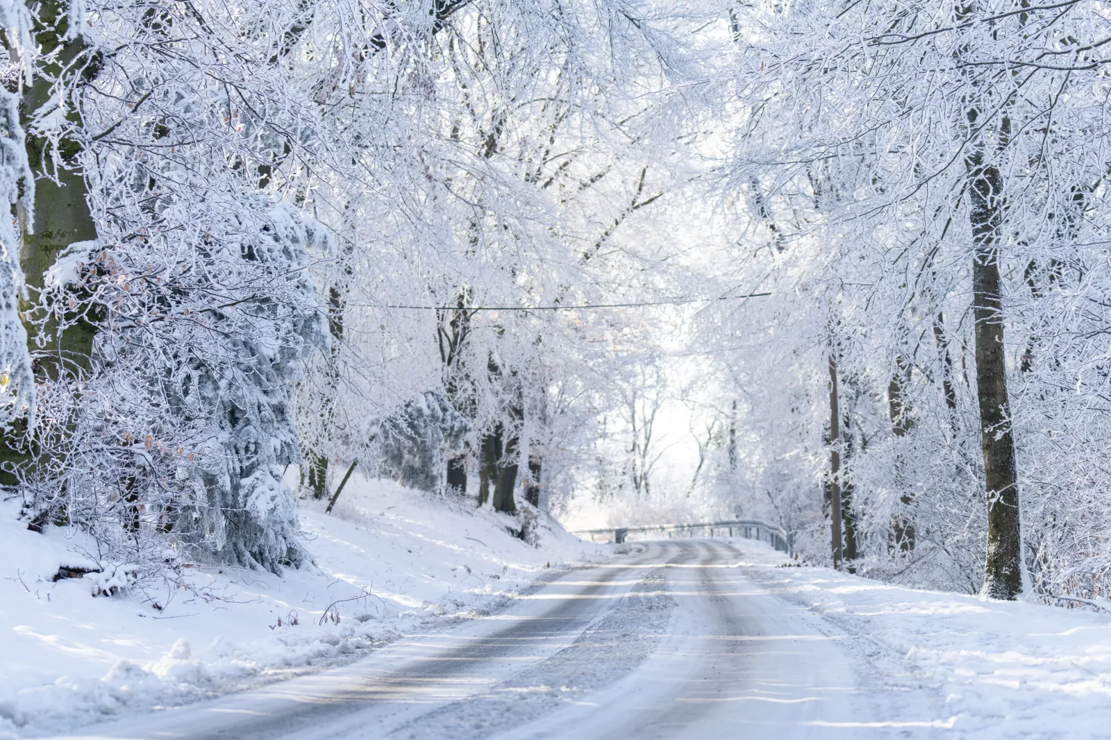
Up to 15 inches of snow is forecast to fall across parts of the United States through Thursday, with wintry conditions lingering into the weekend and, in some areas, even into Monday. The National Weather Service (NWS) has issued winter storm warnings and cautioned residents and drivers that roads may become “slick and hazardous.”
Heavy snow, ice, and strong winds are expected to disrupt travel, particularly during peak times such as the morning and evening commute. In the hardest-hit regions, the NWS is urging drivers to consider delaying all travel or to use extreme caution if driving is absolutely unavoidable.
States expected to see the most significant impacts from this system include Wyoming, Michigan, New Mexico, New York, Idaho, Colorado, Alaska, Montana, and Utah. Residents in affected areas are advised to keep a close eye on local forecasts and prepare for rapidly changing conditions, especially if they plan to travel.
Wyoming
The Sierra Madre Range and Snowy Range could see as much as 2 feet of snow, with even higher totals possible above 10,000 feet. Winds may reach up to 65 mph from Thursday night through Sunday morning.
The Teton and Gros Ventre Mountains, along with the Salt River and Wyoming Ranges, may receive 10 to 16 inches of snow, with some of the highest peaks seeing up to 3 feet. Winds around 40 mph are possible through Saturday afternoon.
Michigan
Central and western Chippewa County may pick up as much as 6 inches of snow, accompanied by winds near 30 mph. Blowing snow could reduce visibility to less than a quarter of a mile through Thursday afternoon.
Alger, Luce, and Northern Schoolcraft counties could see up to 7 inches of accumulation and winds up to 35 mph through Thursday morning.
New Mexico
The Sandia and Manzano Mountains, including Edgewood, as well as the eastern slopes of the Sangre de Cristo Mountains, the northern Sangre de Cristo Mountains, and Johnson and Bartlett Mesas (including Raton Pass), are expecting between 6 and 10 inches of snow.
Higher peaks near the Colorado border could see up to 15 inches. Icy conditions are likely, particularly along portions of I-40 and I-25 through Thursday morning.
New York
The eastern Lake Ontario region is forecast to receive 3 to 5 inches of snow, with localized totals up to 8 inches across the northwest parts of the Tug Hill Plateau. Winds up to 35 mph are expected through Thursday afternoon.
Wayne, northern Cayuga, Madison, and Onondaga counties could see up to 6 inches of snow and 35 mph winds through Thursday evening, leading to areas of blowing and drifting snow.
Idaho
Communities including Osburn, Pinehurst, Wallace, Fourth of July Pass, St. Maries, Fernwood, Dobson Pass, Kellogg, Mullan, and Lookout Pass may see up to 3 inches of snow in the valleys and up to 8 inches in the surrounding mountains.
Elevations above 3,000 feet could receive as much as 13 inches of snow from Thursday through Saturday.
Colorado
Across the southwest and northwest San Juan Mountains, between 3 and 8 inches of snow is expected into Thursday, with higher localized totals possible on the peaks and passes.
Alaska
Skagway, the Haines Borough, and Klukwan are forecast to receive between 9 and 15 inches of snow from Friday through Saturday night, with the heaviest snow likely Friday night into Saturday morning.
The western Interior, eastern Norton Sound, central Interior, Dalton Highway Summits, northern Denali Borough, White Mountains, Yukon Delta, higher terrain south of the Yukon River, and the Yukon Flats should prepare for blowing snow and winds up to 50 mph. Wind chills are expected to drop below zero through the weekend and into Monday.
Montana
The Big Belt, Bridger and Castle Mountains, Little Belt and Highwood Mountains, Gallatin and Madison County Mountains, and the Centennial Mountains may see up to 12 inches of snow and winds around 40 mph through Friday night. Travel could be especially difficult over Bozeman Pass and along Highway 191 south of Bozeman.
Along the Continental Divide near the Rocky Mountain Front and in northwest Beaverhead County, similar conditions are expected through Saturday afternoon.
The western Glacier region, the Bitterroot and Sapphire Mountains, the lower Clark Fork Region, and the Potomac and Seeley Lake region could see up to 7 inches of snow on valley floors, up to 15 inches at pass level, and as much as 36 inches along the highest crests by Saturday afternoon.
Utah
The Wasatch Mountains and the western Uinta Mountains are expected to receive between 1 and 2 feet of snow, while the Ogden Valley and Park City areas could see up to 12 inches from Thursday night through Saturday night.