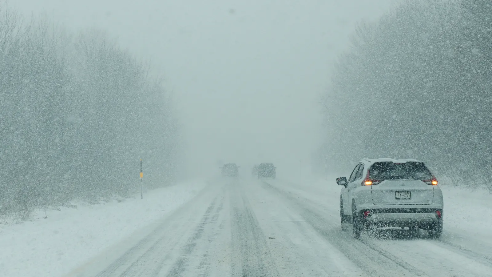
Many states across the U.S. are under winter storm warnings, with the National Weather Service (NWS) cautioning that up to 2 feet of snow could fall in some areas. Strong winds are expected to combine with heavy snowfall from Tuesday through Wednesday and, in some locations, into Thursday, creating dangerous “whiteout conditions.”
Key Areas in the Storm’s Path
The states expected to face some of the most severe impacts include Michigan, Alaska, North Dakota/Minnesota, Wisconsin, Montana/Wyoming, Pennsylvania, New York, and West Virginia.
Michigan
Western Mackinac County may see up to 8 inches of snow, accompanied by winds around 35 mph. The combination is likely to cause blowing snow and occasional whiteout conditions, especially along Highway 2, continuing through Tuesday.
Alaska
Ketchikan Gateway Borough and Annette Island could receive up to 8 inches of snow, while Prince of Wales Island may get as much as 7 inches through Tuesday. The city of Hyder is forecast to pick up between 9 and 12 inches of snow by Wednesday morning.
North Dakota/Minnesota
Portions of northwest Minnesota as well as northeast and southeast North Dakota are bracing for 3 to 5 inches of snow, along with ice accumulations and wind gusts up to 60 mph from Tuesday into Wednesday.
In Minnesota, Benton, Morrison, Sherburne, Todd, Anoka, Chisago, Isanti, Kanabec, and Mille Lacs counties could see up to 7 inches of snow, with the heaviest totals likely north of Interstate 94. Winds may reach 40 mph through Wednesday, leading to hazardous travel.
Wisconsin
Calumet, Manitowoc, Winnebago, Brown, Door, Kewaunee, Outagamie, southern Oconto, Marathon, Portage, Waushara, Wood, Langlade, Lincoln, Menominee, northern Oconto, Shawano, Waupaca, Barron, Rusk, Polk, Clark, Taylor, and Chippewa counties are all in line for up to 7 inches of snow. Winds around 35 mph are possible until Tuesday night or into Wednesday morning, creating slick roads and reduced visibility.
Montana/Wyoming
On the Montana side, the Absaroka and Beartooth Mountains are forecast to receive between 1 and 2 feet of snow, with wind gusts up to 70 mph through Tuesday and into late Wednesday afternoon. Whiteout conditions are possible at higher elevations, along with an elevated avalanche risk.
In Wyoming, the northeast Bighorn Mountains could see up to 10 inches of snow above 7,000 feet with 55 mph winds, sharply cutting visibility and affecting travel—particularly along Highway 14. The western side of the Bighorn Mountains may receive up to 20 inches of snow and winds up to 50 mph through Wednesday afternoon.
The Absaroka Mountains on the Wyoming side and Yellowstone National Park could see up to 20 inches of snow, with winds between 60 and 70 mph. The Teton and Gros Ventre Mountains—including Teton Pass and Togwotee Pass—may also get up to 2 feet of snow, with gusts up to 60 mph until Wednesday.
Along the Wind River Mountains, up to 16 inches of snow and 70 mph gusts are expected, while the Salt River and Wyoming Ranges may see up to 12 inches of snow and 60 mph winds through Wednesday afternoon.
Due to these conditions, the NWS is urging residents across these mountain regions to avoid backcountry travel.
Pennsylvania
Parts of northern and north-central Pennsylvania could receive up to 6 inches of snow, with winds around 35 mph, through Wednesday night. These conditions may lead to slick roads and periods of low visibility.
New York
In New York, the eastern Lake Ontario region and northern Oneida County could see up to 7 inches of snow. Southern Erie and Wyoming counties, along with the western Southern Tier, may get up to 8 inches and 35 mph winds through Wednesday night or Thursday morning.
Hamilton, northern Fulton, and Herkimer counties are forecast to receive up to 10 inches of snow, with the highest totals expected north of I-90 in Herkimer County.
West Virginia
In West Virginia, western Grant and western Pendleton counties could receive up to 10 inches of snow along the highest ridges. Eastern Tucker County may see up to 6 inches, while northwest Pocahontas, southeast Randolph, and southeast Webster counties could get up to 7 inches, with wind gusts reaching 50 mph through Thursday afternoon.
What Officials Are Saying
The NWS office serving Michigan warned:
“Plan on hazardous travel conditions. Gusty winds will lead to blowing and drifting snow, along with potential for whiteout conditions. Quick onsets of whiteout conditions and changing road conditions will lead to potential for the rapid onset of hazardous travel conditions.”
From North Dakota, the NWS advised:
“Persons are urged to stay indoors until conditions improve. If you must go outside, dress in layers. Several layers of clothes will keep you warmer than a single heavy coat. Cover exposed skin to reduce your risk of frostbite or hypothermia. Gloves, a scarf, and a hat will keep you from losing your body heat.”
Looking Ahead
Residents in the affected regions are urged to prepare for rapidly changing conditions by frequently checking local forecasts, limiting unnecessary travel, and having winter emergency supplies on hand in case roads become impassable or power is interrupted.