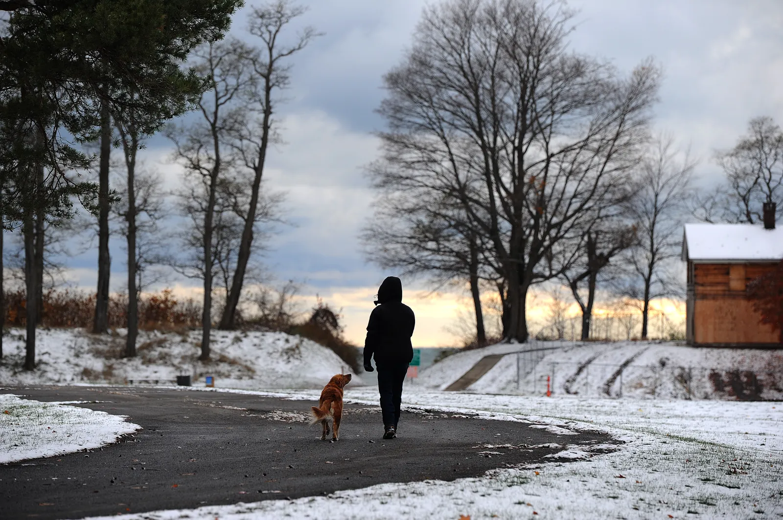
Residents across several U.S. states are under winter storm warnings, with some areas forecast to receive up to 20 inches of snow. The National Weather Service (NWS) is cautioning that conditions from Wednesday through Thursday—and in some places into Saturday—could make travel “treacherous and potentially life-threatening.”
Why It Matters
Heavy snow combined with powerful, gusty winds can lead to blowing and drifting snow, blizzard-like conditions, and sudden whiteouts. That means sharply reduced visibility and slick roads right as many people are commuting or traveling for Thanksgiving, increasing the risk of accidents and travel disruptions.
What To Know
The most serious winter weather alerts are in effect for parts of Wisconsin, Michigan, Minnesota, Pennsylvania, New York, Washington, Montana, and Ohio.
- Wisconsin:
- Vilas County could see up to 18 inches of snow in the northwest and around 15 inches elsewhere, with winds up to 40 mph, potentially causing power outages and dangerous travel through Thursday morning.
- Price, Burnett, Sawyer, and Washburn Counties—including the Tribal Lands of the St. Croix Band in Burnett County and the Lac Courte Oreilles Reservation—may receive 5 to 11 inches of snow by Wednesday night, with winds up to 45 mph and visibility possibly dropping below a quarter mile.
- Michigan (central, west central, and southwest):
- Areas including Calhoun, Allegan, Barry, Kalamazoo, and Van Buren Counties are expected to see 2 to 8 inches of snow and winds up to 55 mph, creating conditions the NWS warns could be “life-threatening,” with visibility falling below a quarter mile.
- Charlevoix, Crawford, Missaukee, Otsego, Roscommon, Antrim, and Kalkaska Counties are forecast to receive between 6 and 18 inches of snow and winds near 45 mph through Friday evening.
- Iron and southern Houghton Counties could see as much as 21 inches of snow by Thursday night, with the heaviest totals near Lake Superior.
- Minnesota:
Multiple counties—including Benton, Kandiyohi, Meeker, Morrison, Renville, Stearns, Kanabec, Mille Lacs, Redwood, Chippewa, Yellow Medicine, Todd, Douglas, Lac Qui Parle, Pope, Stevens, and Swift—could pick up 2 to 7 inches of snow and experience winds up to 50 mph on Wednesday, with visibility potentially dropping below a quarter mile. - Pennsylvania:
- Cameron, Elk, and Potter Counties may receive up to 7 inches of snow and 40 mph winds from Thursday into Saturday.
- McKean and Warren Counties could see up to 12 inches by Saturday.
- New York:
- Jefferson, Lewis, Wyoming, Chautauqua, Cattaraugus, and Southern Erie Counties may be hit with up to 20 inches of snow and 50 mph winds from Thursday through Saturday morning.
- Northern Erie, Genesee, Niagara, and Orleans Counties could receive 2 to 5 inches of snow with winds up to 50 mph through Thursday.
- Southwestern St. Lawrence and southern Franklin Counties may see up to 8 inches of snow and winds near 40 mph through Friday night.
- Washington:
- Leavenworth, Plain, Stehekin, Stevens Pass, and Holden Village could get up to 4 inches of snow below 4,000 feet and as much as 10 inches above 4,000 feet on Wednesday.
- Montana:
- Parts of north-central Montana are forecast to receive 4 to 7 inches of snow by Friday afternoon.
- Northwestern areas—including Marias Pass, Essex, Highway 83 (Bigfork to Swan Lake), Glacier National Park, Bad Rock Canyon, and Polebridge—could see up to 12 inches at higher elevations.
- Ohio:
- Ashtabula Inland, Ashtabula Lakeshore, Cuyahoga, Geauga, and Lake Counties could pick up as much as 13 inches of snow, with the heaviest totals expected in northern Geauga County, Lake County south of I-90, and far northeast Ashtabula County. Winds may reach 50 mph through Friday evening.
What Officials Are Saying
Forecasters in Michigan warned:
“Whiteout conditions are expected and will make travel treacherous and potentially life-threatening.”
The NWS is urging people in affected regions to rethink any nonessential travel and to be fully prepared if they must be on the road:
“Consider delaying all travel. If travel is absolutely necessary, drive with extreme caution. Consider taking a winter storm kit along with you, including such items as tire chains, booster cables, flashlight, shovel, blankets, and extra clothing. Also take water, a first aid kit, and anything else that would help you in case you become stranded.”
What Happens Next
Residents and travelers in the impacted areas should:
- Regularly check local weather forecasts and alerts.
- Allow extra time for any essential travel—or delay plans if possible.
- Make sure vehicles are winter-ready and stocked with emergency supplies.
With heavy snow and high winds forecast over several days, conditions may change quickly, so staying informed and prepared will be crucial.