Winter storm warnings are in effect for parts of the U.S. as a major system is expected to deliver heavy snowfall—up to 16 inches in some areas—along with powerful winds that could gust as high as 100 mph from Christmas Eve through Christmas Day, with impacts lingering into Friday in certain regions. The National Weather Service (NWS) warned the combination could create “life-threatening” conditions.
The areas forecast to see the most significant impacts include portions of California, Maine and New Hampshire, Idaho, and Alaska.
California
Several parts of California, including some central sections and Yosemite National Park at elevations above 6,000 feet, could see 4 to 8 feet of snow paired with winds up to 60 mph through Friday night. Forecasters caution that conditions may deteriorate into “whiteout conditions,” with visibility dropping below a quarter mile—making travel “treacherous and potentially life-threatening,” according to the NWS in California.
In Lassen, eastern Plumas, and eastern Sierra Counties, snowfall could reach 3 feet above 5,500 feet, with up to 6 inches possible below that level. The heaviest period is expected from overnight Tuesday through Christmas Eve and Christmas Day, continuing into Friday, with wind speeds up to 70 mph. The NWS warned that “the hazardous conditions could impact the Wednesday and Christmas Day commutes.”
In the Greater Lake Tahoe region, totals could reach 2 feet in some communities, while elevations above 5,000 feet may receive up to 5 feet. Winds could reach 50 mph, and gusts along the highest ridgelines may approach 100 mph, with conditions lasting until Friday morning. Similar hazards are forecast in Mono County, where snow could reach 5 feet above 8,000 feet and 3 feet below—especially along US-395—with 100 mph winds possible across the highest ridges, also lasting into Friday morning.
The NWS in California said: “The strong winds and weight of snow on tree limbs may down power lines and could cause sporadic power outages. Whiteout conditions are expected and will make travel treacherous and potentially life-threatening. Travel could be very difficult to impossible.”
Maine and New Hampshire
In parts of south central, southwest, and western Maine, along with northern New Hampshire, snowfall totals could reach 14 inches by Wednesday afternoon. The NWS in Maine warned that this could lead to “extremely dangerous travel conditions,” potentially disrupting commutes and holiday trips.
The NWS for Maine said: “Periods of moderate and heavy snow will combine with low visibility to create dangerous driving conditions. The hazardous conditions could impact the Wednesday morning commute as well as holiday travel.”
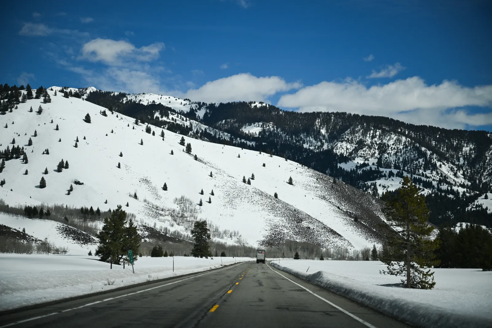
Idaho
The Big Lost Highlands, Copper Basin, and the Sun Valley region are expected to receive between 5 inches and 2 feet of snow above 6,500 feet, while the highest peaks may pick up as much as 3 feet. Winds are forecast to gust up to 35 mph from Wednesday morning through much of Thursday.
Alaska
Multiple areas—including the Baldwin Peninsula, Kivalina, the lower and upper Kobuk Valley, Noatak Valley, and the southern slopes of the western Brooks Range—could see 1 to 6 inches of snow, especially above 1,500 feet, alongside 35 mph winds through Wednesday morning. Meanwhile, Fairbanks, the North Star Borough, the central Interior, and the western Alaska Range could receive up to 14 inches through Thursday morning.
Travel Guidance
With holiday travel underway, the NWS urged anyone planning to drive—especially on Christmas Eve and Christmas Day—to prepare for emergencies. If you “must travel,” officials recommend keeping a flashlight, food, and water in your vehicle. Travelers are also advised to call 5 1 1 to check the latest road conditions before leaving.