Winter weather alerts from the National Weather Service (NWS) covered wide portions of the United States early Friday, as forecasters warned that some areas could see as much as 3 feet of snowfall.
Winter storm warnings—issued when “a significant combination of hazardous winter weather is occurring or imminent”—were in effect for parts of California, Nevada, Idaho, Wyoming, Colorado, Pennsylvania, New Jersey, New York, Alaska, and Connecticut.
In California, Mono County could pick up an additional 1 to 3 feet of snow above 8,000 feet, with 4 to 12 inches expected below 8,000 feet and along U.S. 395, the agency said.
In the Greater Lake Tahoe area, totals of 8 to 16 inches were forecast, with 1 to 3 feet possible above 7,000 feet. Those warnings were set to remain in place until 4 p.m. Friday afternoon as of reporting.
“Travel could be very difficult to impossible. The hazardous conditions could impact the morning commute,” the NWS warned for the region. It also noted that “very strong winds could cause extensive damage to trees and power lines.”
In Idaho, winter storm warnings were posted for the Big Hole Mountains and Bear River Range, Big Lost Highlands/Copper Basin, Sawtooth/Stanley Basin, the Sun Valley region, and the Centennial Mountains through 5 a.m. MST Saturday, with up to 18 inches of snow forecast in some locations.
Parts of Wyoming’s Sierra Madre Range and Colorado’s Elkhead and Park Mountains could also receive up to 18 inches of heavy snow, according to the NWS.
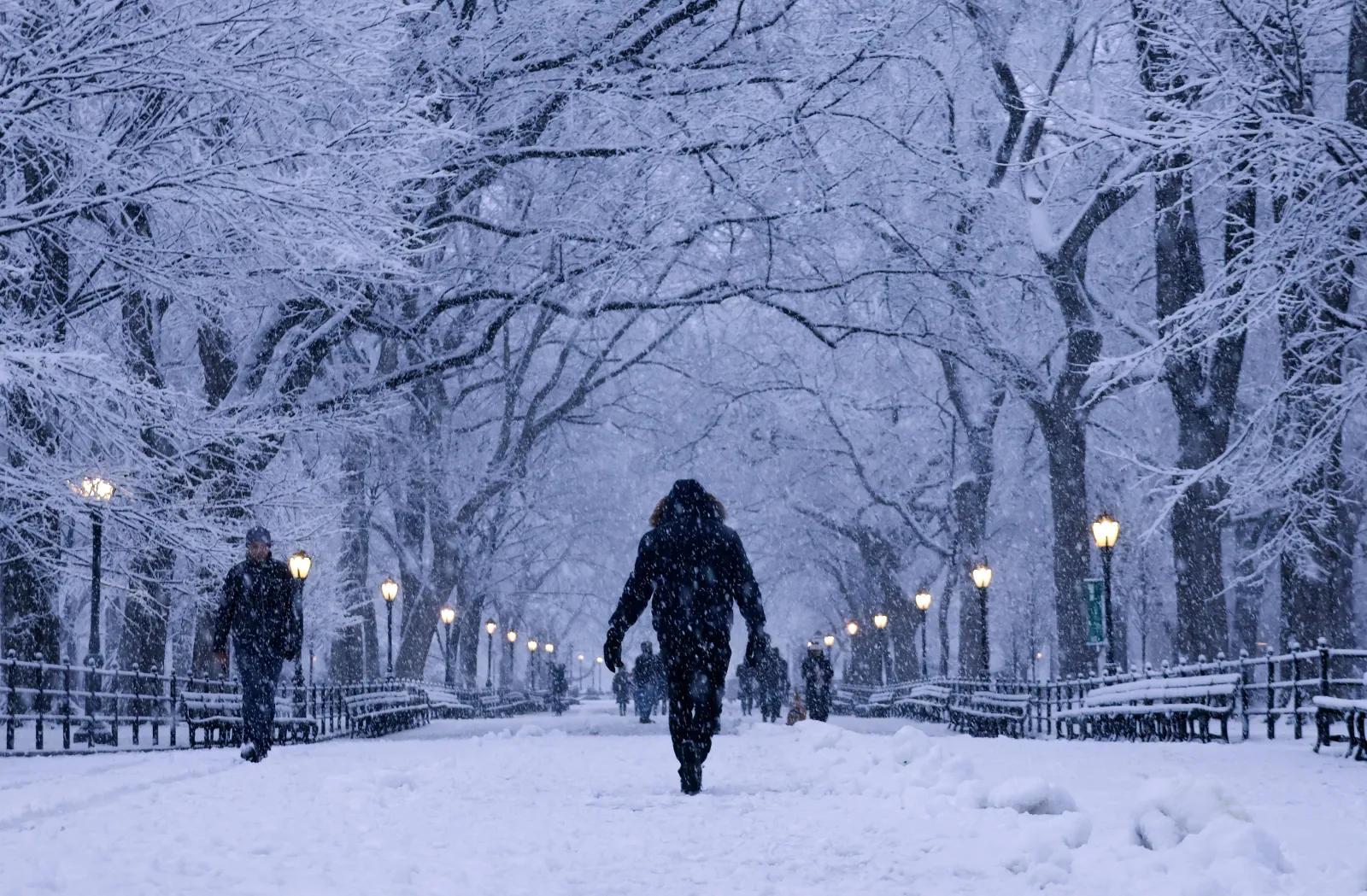
Farther east, the agency said portions of southern Connecticut, northeast New Jersey, and southeast New York could see up to 9 inches of snow. That alert was scheduled from 4 p.m. Friday afternoon to 1 p.m. EST Saturday. Northern Wayne, Pike, and Southern Wayne counties in Pennsylvania were also forecast to receive up to 9 inches.
Winter weather advisories—less severe than winter storm warnings—were also issued for parts of Washington, Oregon, Montana, Utah, Minnesota, Wisconsin, Michigan, Ohio, West Virginia, Maryland, Virginia, Delaware, Massachusetts, and other nearby areas.
In a Friday morning forecast discussion, the NWS Weather Prediction Center said the upper Midwest would see a developing mix of snow and ice ahead of a fast-moving “clipper system,” which can bring gusty winds and quick bursts of snow.
“Light to moderate snowfall is expected across the upper Great Lakes from this system, while areas from lower Michigan to Pennsylvania can expect to receive up to a quarter of an inch of freezing rain today into tonight with locally higher amounts,” the center said. “This includes major urban areas of Baltimore and Philadelphia.”
“For areas farther north from upstate New York to the Tri-State area including New York City and Long Island, 4 to 8 inches of snowfall is forecast for late Friday into Friday night,” it added. “Road conditions will be treacherous for those traveling back from the holiday.”