Winter weather alerts across the United States are highlighting where snow could affect Christmas travel, as millions of Americans prepare to hit the road or fly for the holiday.
AAA estimates 122.4 million people will travel at least 50 miles from home during the holiday stretch, generally considered December 20 through January 1. Snow and winter storms can slow traffic, create dangerous road conditions, and trigger flight delays or cancellations—making these advisories especially important for anyone traveling to see friends or family.
While much of the country is expected to see above-average temperatures on Christmas Day, reducing the odds of a widespread “White Christmas,” several states are still bracing for impactful snow—especially California, Utah, Oregon, and Alaska.
On Tuesday, alerts were also posted across parts of the Northeast. Even though none of those warnings specifically called for a storm lasting into Thursday, the National Weather Service said light snow could still develop close to Christmas.

“Moreover, a developing front over eastern Canada will advance to near the Northeast by Christmas morning, producing light snow over Northern New England,” the agency noted in its Tuesday forecast.
Still, any snow significant enough to disrupt travel in the region would likely have cleared before the holiday, according to NWS Lead Meteorologist Mike Kistner, who spoke with Newsweek.
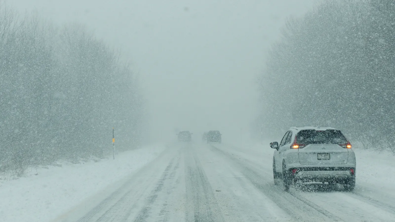
For areas facing the more serious storms, conditions could become far more dangerous—especially in higher elevations and mountain passes.
In a winter storm warning covering its California forecast region, the National Weather Service office in Reno, Nevada, cautioned that conditions could deteriorate rapidly:
“Travel and recreation could be very difficult to impossible. The hazardous conditions could impact the Wednesday morning and evening commutes. Gusty winds could bring down tree branches,” the office said. It added that snow levels were expected to drop from 5,500–6,500 feet Tuesday night and Wednesday to 4,500–5,500 feet by Christmas Day, while heavy rain could cause ponding on roads and minor flooding impacts.
The NWS forecast office in Hanford, California, warned snowfall totals in high-elevation terrain could reach as much as 8 feet, advising that anyone who must drive should carry emergency supplies—including an extra flashlight, food, and water.
Meanwhile, in other parts of the country, some travelers may face the opposite problem: unusually warm holiday weather. AccuWeather reported that a record-warm Christmas could be possible for millions.
“Close to two dozen states, from parts of the Rockies to portions of the Appalachians, northward through much of the Plains and part of the Midwest, are forecast to experience temperatures that are 15-30 degrees above the historical average by Christmas Day,” AccuWeather meteorologist Alyssa Glenny said. “At this level, the warmth will be comparable to late April or early May.”