Winter weather alerts from the National Weather Service (NWS) are in effect for more than a dozen states early Saturday, as forecasters warn that a widespread winter storm will spread snow from the eastern Plains into the western Great Lakes over the weekend.
Why It Matters
Meteorologists warn that heavy snowfall could create hazardous travel conditions during the busy post-Thanksgiving period. The American Automobile Association expects more than 80 million people to travel at least 50 miles from home between November 25 and December 1, raising the risk of dangerous driving situations for millions of holiday travelers.
What To Know
Winter storm warnings—issued by the NWS when “a significant combination of hazardous winter weather is occurring or imminent”—are currently in place across parts of Montana, South Dakota, Nebraska, Minnesota, Iowa, Missouri, Wisconsin, Illinois, Indiana, Ohio, and Michigan.
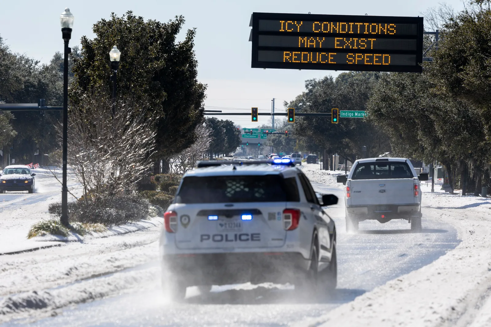
Most of Iowa remains under a winter storm warning until 6 a.m. CST Sunday, with forecasts calling for heavy snow. Total accumulations between eight and 13 inches are possible, along with wind gusts that could reach up to 35 miles per hour at times.
“Persons should delay all travel if possible. If travel is absolutely necessary, drive with extreme caution and be prepared for sudden changes in visibility,” the statewide alert advised.
“Leave plenty of room between you and the motorist ahead of you, and allow extra time to reach your destination. Avoid sudden braking or acceleration, and be especially cautious on hills or when making turns. Make sure your car is winterized and in good working order,” it added.
Winter weather advisories—which are less severe than winter storm warnings but still signal that wintry conditions could cause “significant inconvenience”—are posted across parts of North Dakota, Wyoming, Colorado, Virginia, West Virginia, North Carolina, and New York as of early Saturday.
The NWS Weather Prediction Center (WPC) said Friday that snow was already falling over sections of the northern and central Plains and would expand eastward into the Midwest Friday night, reaching the Great Lakes region by Saturday morning.
“Snow will likely be heavy at times through Saturday before tapering off slowly from west to east by Sunday morning,” the WPC noted.
What People Are Saying
The NWS Weather Prediction Center wrote on X on Friday: “Heavy snow and gusty winds will lead to significant travel impacts across portions of the Plains and Midwest beginning this afternoon, carrying through Sunday morning. This will be a major winter storm for many with a large area seeing 6–12+ inches of snow over the next few days.”
What Happens Next
The NWS will continue to issue updated forecasts, warnings, and advisories on its website and through its social media channels as the storm progresses. Travelers are urged to monitor local forecasts closely and adjust their plans as needed.