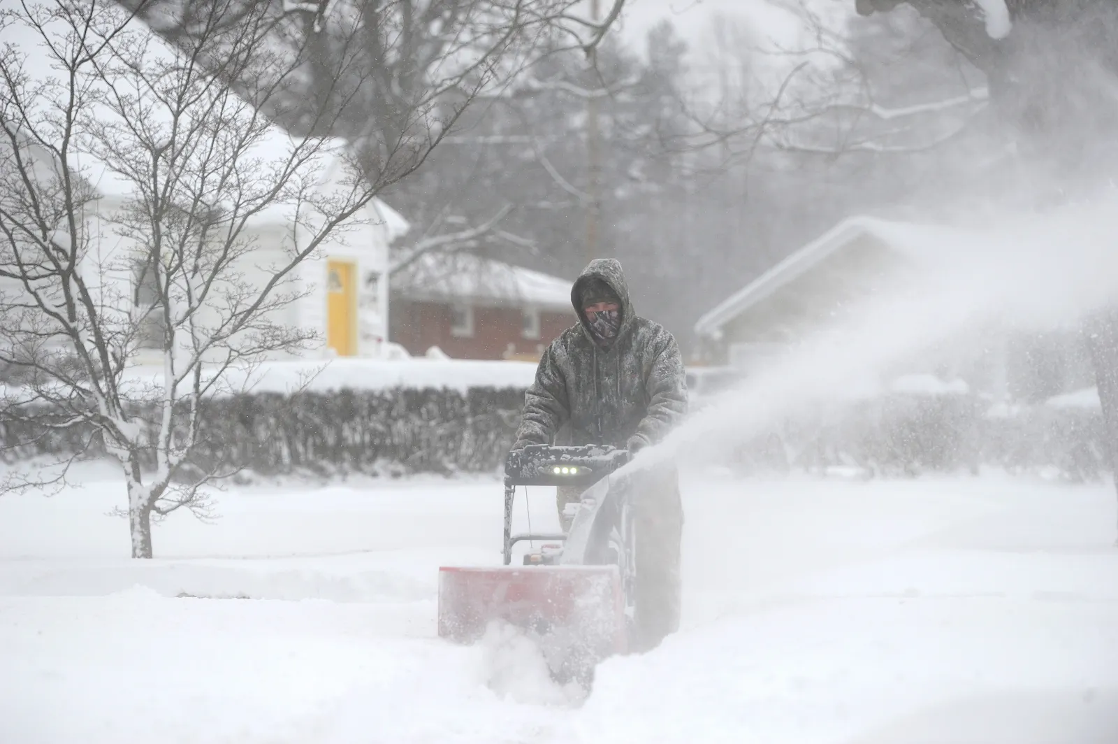
Multiple states across the U.S. are under winter storm warnings, with forecasters calling for as much as 20 inches of snow in some areas from Wednesday through Friday — and in certain spots, even into Saturday. The National Weather Service (NWS) is also warning of increasing “avalanche danger” where heavy snow combines with strong winds.
What To Know
Residents and travelers in New York, Ohio, Montana/Wyoming, Maine, Michigan, and Vermont are expected to feel the greatest impact from this storm system, with hazardous travel, blowing snow, and possible whiteout conditions in some regions.
New York
Northern Oneida County could receive up to 12 inches of snow with winds around 30 mph, while the eastern Lake Ontario region may see up to 16 inches. The heaviest totals are expected across the Tug Hill Plateau and the western Adirondacks from Wednesday through Thursday afternoon.
Bennington, western Windham, Hamilton, northern Fulton, and northern Herkimer counties could pick up 7 to 14 inches of snow by Thursday morning, with the most accumulation likely on south-facing slopes of the Adirondacks and elevations above 1,000 feet.
Chenango, Cortland, Delaware, Otsego, southern Cayuga, and Sullivan counties may see up to 7 inches of snow in higher terrain by early Thursday.
Southern Erie and Wyoming counties, along with the western Southern Tier, are forecast to receive as much as 14 inches of snow by Friday, accompanied by winds up to 35 mph. Blowing and drifting snow could significantly affect both morning and evening commutes.
Ohio
Southern Erie County in Ohio is expected to see 8 to 10 inches of snow, with higher elevations potentially getting up to 14 inches from Wednesday through Friday. Winds could reach 35 mph, creating low visibility and difficult travel at times.
Montana / Wyoming
Along the Montana–Wyoming border, the Absaroka and Beartooth Mountains could receive up to 15 inches of snow and winds as high as 50 mph through early Wednesday evening.
In Montana’s Crazy Mountains, forecasters expect 10 to 20 inches of snow and 60 mph winds from Thursday into Saturday morning, raising concerns about whiteout conditions and avalanche risk.
Along the Continental Divide and the Rocky Mountain Front in Montana — especially near Marias Pass — 7 to 12 inches of snow is likely, with more than a foot possible on the higher peaks through Friday.
Across parts of central, south-central, and southeast Montana, total snowfall could range from 4 to 14 inches, potentially lasting into Saturday morning.
In Wyoming’s Yellowstone National Park, as much as 8 inches of snow is possible, with winds up to 70 mph along the highest ridges, making travel particularly hazardous along routes such as the Chief Joseph Highway.
The Sierra Madre and Snowy Ranges could see up to 12 inches of snow above 9,000 feet, with winds up to 75 mph into mid-morning Wednesday.
The Salt River and Wyoming Ranges may pick up up to 10 inches of snow with gusts to 60 mph, while the Bighorn Mountains West and Wind River Mountains could each receive up to 12 inches, with winds nearing 70 mph through Wednesday afternoon.
Across the Teton and Gros Ventre Mountains — including Teton and Togwotee Passes — forecasters are calling for up to 18 inches of snow and winds as strong as 80 mph, and backcountry travel is being strongly discouraged.
Maine
Northeast Aroostook, northwest Aroostook, northern Piscataquis, and northern Somerset counties could see up to 8 inches of snow by Thursday afternoon, leading to slick roads and reduced visibility.
Michigan
Parts of northern Lower Michigan may receive up to 6 inches of snow, especially south of M-72. Portions of southeast Michigan could also see up to 6 inches, along with winds near 35 mph by Wednesday afternoon, creating periods of blowing and drifting snow.
Vermont
Orleans and eastern Franklin counties — along with parts of central, northeast, northwest, and southern Vermont — are forecast to get 3 to 7 inches of snow from Wednesday morning into Thursday morning. The heaviest snowfall is expected during the day on Wednesday, which could complicate travel.
What People Are Saying
The NWS office serving New York warns:
“Travel will be very difficult with snow-covered roads and poor visibility. The hazardous conditions will impact the morning and evening commutes.”
Forecasters in Ohio advise residents to reconsider heading out:
“Persons should consider delaying all travel. If travel is absolutely necessary, drive with extreme caution. Consider taking a winter storm kit along with you, including such items as tire chains, booster cables, flashlight, shovel, blankets and extra clothing. Also take water, a first aid kit, and anything else that would help you survive in case you become stranded.”
In Wyoming, the NWS highlights the danger for anyone heading outdoors:
“Outdoor recreation could become dangerous to those caught unprepared for hazardous winter conditions. Hunters, hikers, and snowmobilers may become disoriented and lost due to low visibility in falling and blowing snow.”
What Happens Next
People in the affected regions are urged to monitor local forecasts and NWS updates frequently. Conditions may change quickly as the storm evolves, and last-minute shifts in track or intensity could significantly affect snowfall totals, wind speeds, and travel safety.