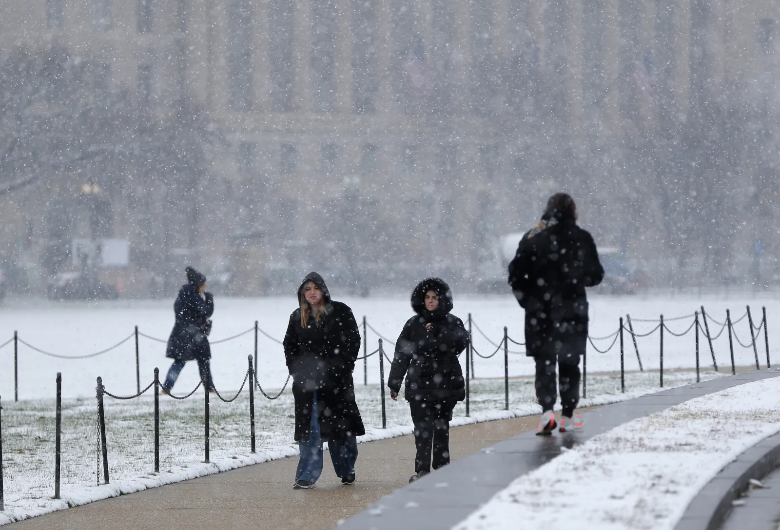
Freezing fog advisories have been issued in parts of the U.S. as harsh winter weather continues to sweep across the country.
On Sunday morning, the National Weather Service (NWS) warned drivers in multiple locations across Maryland, North Carolina, Washington, D.C., and much of Virginia about dangerous freezing fog and its impact on travel.
Why It Matters
Freezing fog is relatively uncommon in the U.S. because it only forms when surface temperatures are at or below freezing. Under these conditions, it can sharply reduce visibility and cause black ice to form quickly on roads, creating serious hazards for residents.
On Sunday, the NWS cautioned that visibility could drop to “one quarter mile or less,” which could make driving extremely dangerous, and warned that black ice would leave many surfaces slick and treacherous.
What To Know
The freezing fog advisories remained in place until midday Sunday and came on top of ongoing winter storm alerts affecting states across the West and Northwest.
Earlier in the day, the NWS flagged severe winter conditions for Alaska, Colorado, Illinois, Iowa, Wisconsin and Wyoming, advising residents to prepare for several inches of snow, strong winds and potentially “life-threatening” conditions for anyone exposed to the elements.
These weather systems have already disrupted weekend travel. By Sunday morning, more than 4,000 flights within, into or out of the U.S. had been delayed, along with over 550 cancellations, according to data from FlightAware.
According to CBS News, more than 18 million people are living in areas currently under winter weather alerts. Meteorologist Andrew Kozak said that the snow moving from the Northwest into the Midwest on Sunday morning would be followed by heavy rain in Oregon and Washington from late Sunday into Monday.
The National Water Center also warned on Sunday that “considerable flooding” is expected in Washington state, especially around Seattle, from early to midweek, with more limited flooding possible in parts of Oregon.
What People Are Saying
The Quad Cities office of the NWS, which serves portions of Iowa, Illinois and Missouri, posted on X on Sunday:
“The snow and wintry mix is winding down, however many roads will remain slick and snow covered this morning. If you are planning to travel, please take it slow and allow for extra time to reach your destination.”
Meteorologist Max Velocity wrote on X on Saturday:
“This winter is about to take a serious turn…Models hinting at a VERY intense Arctic blast next weekend. We’ll see if it holds, but if it does, this would easily be the coldest weather we’ve seen since February.”
What Happens Next
In its Day 3–7 Hazards Outlook issued Sunday, the NWS projected that heavy snow will affect Michigan, New York, Minnesota, North Dakota, Wyoming, Montana, Idaho and Washington. The agency also highlighted the risk of significant precipitation in Washington and Oregon, where heavy rain and snow are expected to continue impacting travel and raising flood concerns in the days ahead.