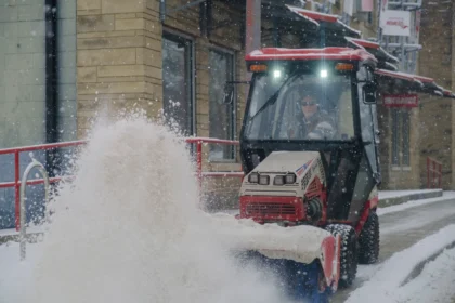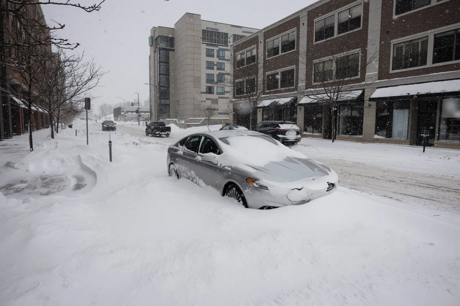
Up to 16 inches of snow may fall across parts of the U.S. from overnight Tuesday into Wednesday—though some locations could see impacts extend from Thursday into Friday and even through Saturday—potentially making travel conditions “impossible” in certain areas, according to winter storm warnings from the National Weather Service (NWS).
What to Know
The states most likely to see the toughest conditions—heavy snowfall combined with strong, gusty winds—include Montana, Wyoming, Washington, Oregon, Colorado, Illinois, Minnesota, and Idaho.
Montana
The NWS warns that from overnight Tuesday through Wednesday (and in some areas into Wednesday night), the Continental Divide along the Rocky Mountain Front, Essex, Bad Rock Canyon, Polebridge, Marias Pass, Glacier National Park, Highway 83 (from Bigfork to Swan Lake), the mountains of southwestern Montana (south of Interstate 90), and the Little Belt and Highwood Mountains could receive 2 to 10 inches of snow. Wind gusts may reach up to 75 mph.
Wyoming
Central, northwest, and west-central Wyoming could see snowfall totals as high as 16 inches at the highest elevations, with wind gusts up to 80 mph in some locations. Other areas above 8,000 feet may pick up 6 to 12 inches by Wednesday evening.
The NWS cautions that blowing snow—driven by heavy snowfall and strong winds—could make travel “very difficult,” especially along key mountain passes such as Teton and Togwotee. The Sierra Madre Range and Snowy Range may see 5 to 10 inches of snow, along with winds up to 70 mph through Wednesday. Officials also warn that “outdoor recreation could become dangerous to those caught unprepared for hazardous winter conditions.”
Washington
In the south Washington Cascades and the upper slopes of the eastern Washington Cascades Crest, 6 to 12 inches of snow is possible, with wind gusts ranging from 50 to 65 mph through Wednesday night.
Lower slopes of the eastern Washington Cascades Crest could see 3 to 7 inches, with the heaviest totals expected above 3,000 feet. Wind gusts may reach 60 mph through Wednesday night, creating blowing snow and blizzard-like conditions that could sharply cut visibility—especially along I-90, US 12, and US 97, according to the NWS.
Oregon
Above 3,000 feet—particularly across the northern and central Oregon Cascades—snow totals could reach up to 8 inches, paired with wind gusts up to 65 mph through Wednesday afternoon. Forecasters also note the risk of flash freezing, which could quickly turn roads icy.
Colorado
From Wednesday morning through Wednesday night, areas including Rabbit Ears Pass, Rocky Mountain National Park, the Elkhead and Park Mountains, and the Medicine Bow Range may see up to 10 inches of snow, along with wind gusts up to 75 mph.
Illinois
North Lake and Cook counties could see 3 to 7 inches of snow, with wind gusts up to 60 mph from Wednesday into Thursday night.
Minnesota
Koochiching and north St. Louis counties may receive up to 8 inches of snow, accompanied by winds up to 50 mph from Wednesday night through Thursday night.
Idaho
The Boise Mountains, Camas Prairie, and the west-central Mountains could see up to 15 inches of snow with wind gusts near 40 mph from late Wednesday night into Thursday evening.
Meanwhile, higher elevations in the Big Lost Highlands, Copper Basin, Frank Church Wilderness, Sawtooth, the Stanley Basin, and the Sun Valley Region could receive 1 to 2 feet of snow above 7,000 feet, with wind gusts up to 45 mph from Thursday morning through Saturday.
Additional mountain travel corridors could also be hit hard. The NWS warns that Highway 93 (Sula to Lost Trail Pass), Dixie and Elk City, Highway 12 (Lowell to Lolo Pass), and the Lolo Pass area could pick up up to 24 inches in the mountains from Wednesday night through Friday evening.
What People Are Saying
The NWS office covering Montana said: “For major winter weather impacts, expect considerable disruptions to normal activities. Dangerous or impossible traveling conditions. Avoid travel in the impacted areas if possible. Widespread closures and disruptions to infrastructure may occur.”
The NWS in Oregon advised: “Have a winter emergency driving kit readily available. Common items to include: flashlight, batteries, blankets, a shovel, water, non-perishable food items, tire chains, etc. Be aware that walking surfaces may be slick. Walk with extra care.”
What Happens Next
The NWS notes that “a Winter Storm Warning means that there is at least an 80% chance of impactful winter weather conditions during the warning period.” Residents in affected areas are urged to take alerts seriously, monitor local forecasts and NWS updates closely, and delay travel where possible.